UN/LOCODE hub · Israel
ILASH
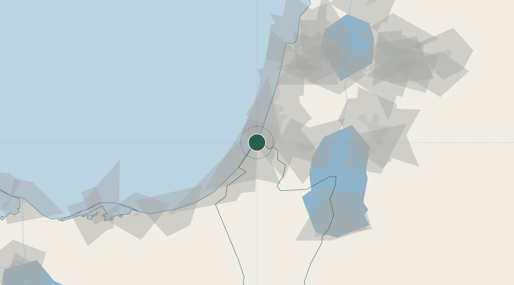
Ashdod
31.8325°, 34.6661°
226,838
Population
1
Transport functions
2
Container terminals
Transport Functions
Port
Hub Profile
Place type
Populated place
Region
Southern District
Population
226,838
Time zone
Asia/Jerusalem
Elevation
27 m
Logistics facilities
19
Container terminals
2
Location
Nearby Logistics Neighbours
Cities
- 1Ashdod Bonded Air2 km
- 2Ashdod Fridenson2 km
- 3Ashdod Granaries2 km
- 4Ashdod Southport2 km
- 5Ashdod Bonded2 km
Airports
- 1Tel Nof Air Base15 km
- 2Ben Gurion International Airport29 km
- 3Nevatim Air Base77 km
- 4Bar Yehuda Airfield89 km
- 5El Jora Airport97 km
Trade Zones
DatabookThe Record of Consolidated Knowledge
Israel beyond logistics?