Transport Functions
Port
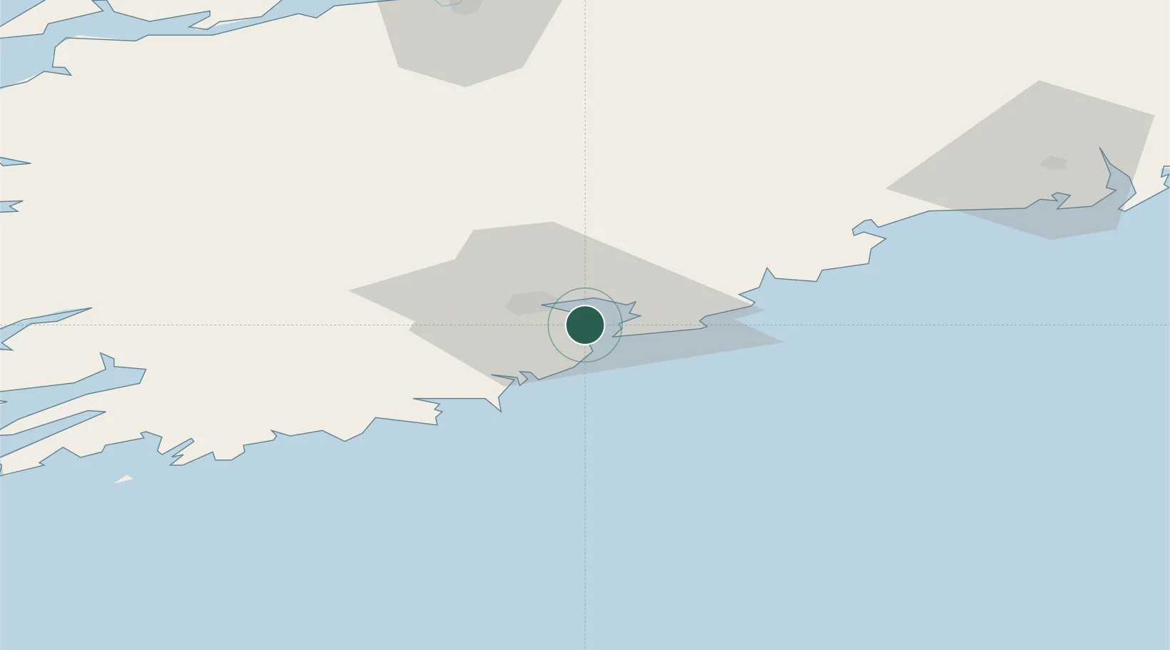
Hub Profile
Place type
Populated place
Region
Munster
Population
580
Time zone
Europe/Dublin
Elevation
2 m
Location
Nearby Logistics Neighbours
Cities
- 1Ringaskiddy Deepwater Terminal0 km
- 2Ringaskiddy Passenger Terminal0 km
- 3Rushbrooke2 km
- 4Passage West4 km
- 5Cork7 km
Airports
- 1Cork International Airport12 km
- 2Kerry Airport91 km
- 3Waterford Airport93 km
- 4Shannon Airport105 km
- 5Inisheer Aerodrome159 km
Trade Zones
DatabookThe Record of Consolidated Knowledge
Ireland beyond logistics?