UN/LOCODE hub · Ireland
IEDFT

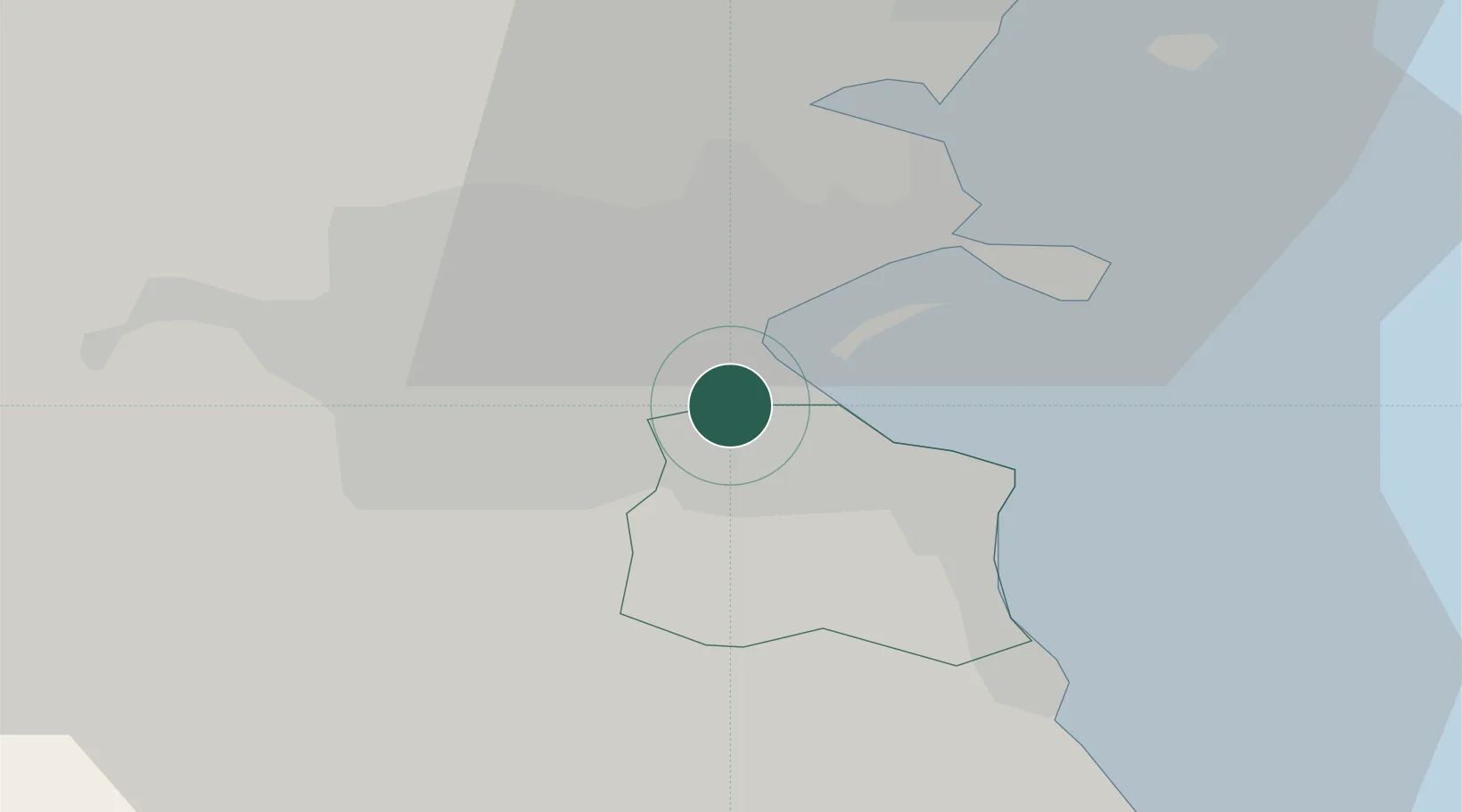
Dublin-Dublin Ferryport Terminals

53.3167°, -6.2333°
1
Transport functions

Transport Functions

Port
UN/LOCODE

Hub Profile

Region
D
GeoNames

Location

Location of IEDFT
Natural Earth 10m (public domain) · D · IEDFT · 53.32, -6.23GoogleOSMYandex

Nearby Logistics Neighbours

Cities
  1. 1Dublin-Ferryport Terminal 30 km
  2. 2Ballsbridge1 km
  3. 3Dublin-Marine Terminal2 km
  4. 4Dublin-Ferryport Terminal 22 km
  5. 5Dublin-Ferryport Terminal 13 km
Nearest neighbours — logibook spatial index (haversine) over the source coordinates
Ports
  1. 1Dublin4 km
  2. 2Drogheda45 km
  3. 3Greenore80 km
  4. 4Kilkeel83 km
  5. 5Warren Point87 km
Nearest neighbours — logibook spatial index (haversine) over the source coordinates
Airports
  1. 1Dublin Airport13 km
  2. 2Casement Air Base15 km
  3. 3Weston Airport18 km
  4. 4Anglesey Airport113 km
  5. 5Isle of Man Airport136 km
Nearest neighbours — logibook spatial index (haversine) over the source coordinates
Trade Zones
  1. 1Dublin International Financial Services Centre4 km
  2. 2Isle of Man Free Zone and Business Park137 km
  3. 3Shannon Free Zone191 km
  4. 4Mersey Waters Enterprise Zone214 km
  5. 5Blackpool Enterprise Zone217 km
Nearest neighbours — logibook spatial index (haversine) over the source coordinates
DatabookThe Record of Consolidated Knowledge
Ireland beyond logistics?
Browse databook

All Sources

LocationsUN/LOCODE
UN/LOCODE — free
Portsthe NGA World Port Index
Public domain (US gov)
AirportsOurAirports
Public domain
Trade Zonesthe World Bank SEZ database
CC BY 4.0
Trade ZonesOpen Zone Map
CC BY
← Ireland locations