UN/LOCODE hub · Ireland
IEDUB
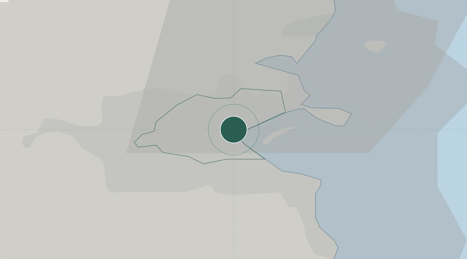
Dublin
53.3613°, -6.2277°
1,024,027
Population
5
Transport functions
3
Container terminals
Transport Functions
Port
Rail
Road
Airport
Postal
Hub Profile
Place type
National capital
Region
Leinster
Population
1,024,027
Time zone
Europe/Dublin
Elevation
17 m
Logistics facilities
16
Container terminals
3
Location
Nearby Logistics Neighbours
Cities
Ports
- 1Dublin2 km
- 2Drogheda40 km
- 3Greenore75 km
- 4Kilkeel78 km
- 5Warren Point82 km
Airports
- 1Dublin Airport8 km
- 2Casement Air Base16 km
- 3Weston Airport18 km
- 4Anglesey Airport113 km
- 5Isle of Man Airport133 km
Trade Zones
DatabookThe Record of Consolidated Knowledge
Ireland beyond logistics?