Transport Functions
Multimodal
Hub Profile
Place type
Urban district
Region
Leinster
Time zone
Europe/Dublin
Elevation
6 m
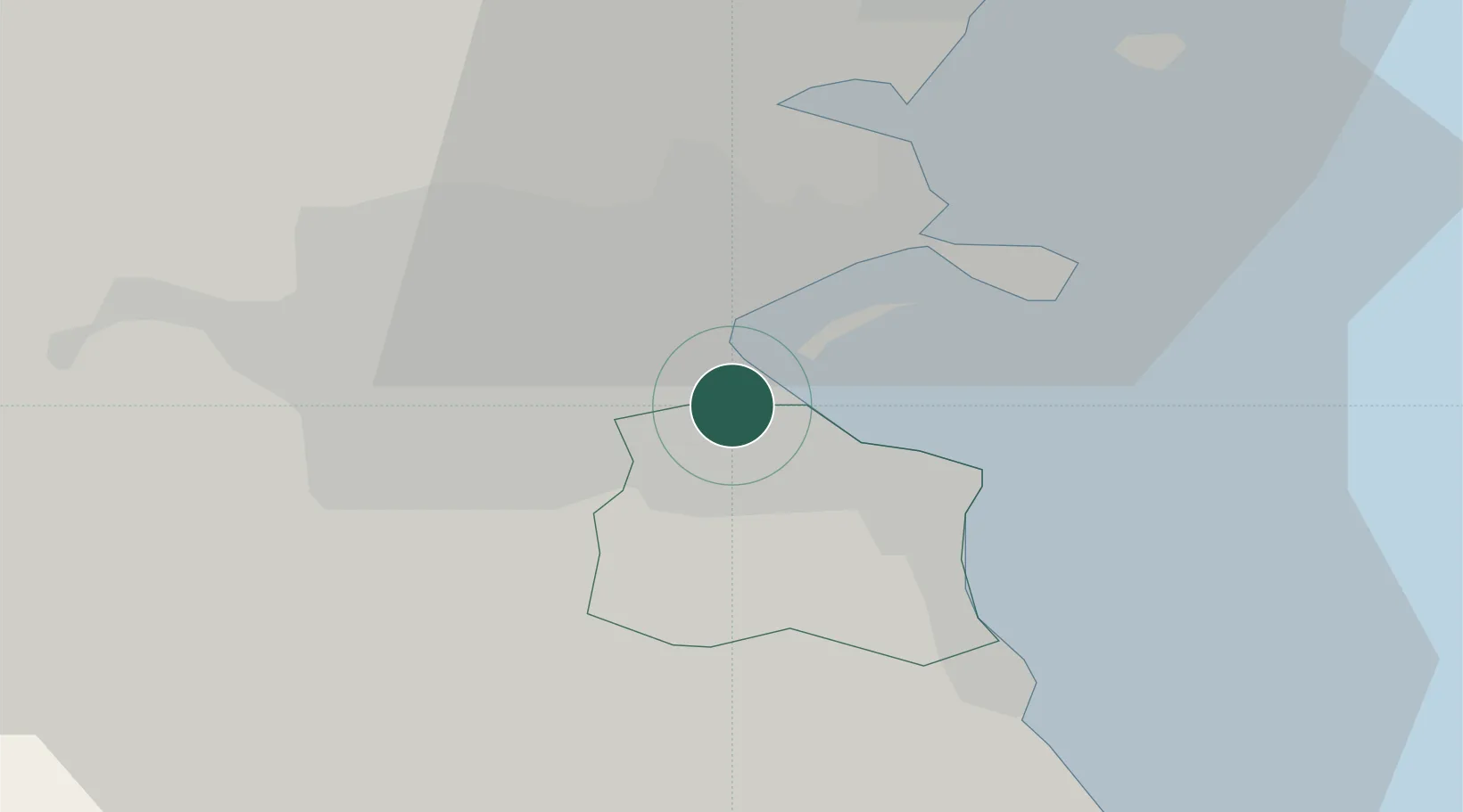
Location
Nearby Logistics Neighbours
Cities
Ports
- 1Dublin4 km
- 2Drogheda45 km
- 3Greenore80 km
- 4Kilkeel83 km
- 5Warren Point87 km
Airports
- 1Dublin Airport13 km
- 2Casement Air Base16 km
- 3Weston Airport19 km
- 4Anglesey Airport112 km
- 5Isle of Man Airport135 km
Trade Zones
DatabookThe Record of Consolidated Knowledge
Ireland beyond logistics?