Channel & Berth Profile
Pilotage, Tugs & Services
Pilotage compulsoryYES
Pilotage availableYES
Pilotage advisableYES
Tug assistanceYES
Potable waterYES
Diesel bunkersYES
MedicalYES
Garbage disposalYES
Facilities & Capabilities
Container—
Ro-Ro—
Liquid bulk—
Dry bulk—
Oil terminal—
Break bulk—
Dry dockNO
RepairsNO
BunkeringYES
Rail linkYES
Dangerous cargo—
ISPS security—
Harbour Specifications
Harbour size
Small
Harbour type
Coastal (Breakwater)
Shelter
Good
Water body
Irish Sea; North Atlantic Ocean
Tidal range
5 m
Pilotage
Yes
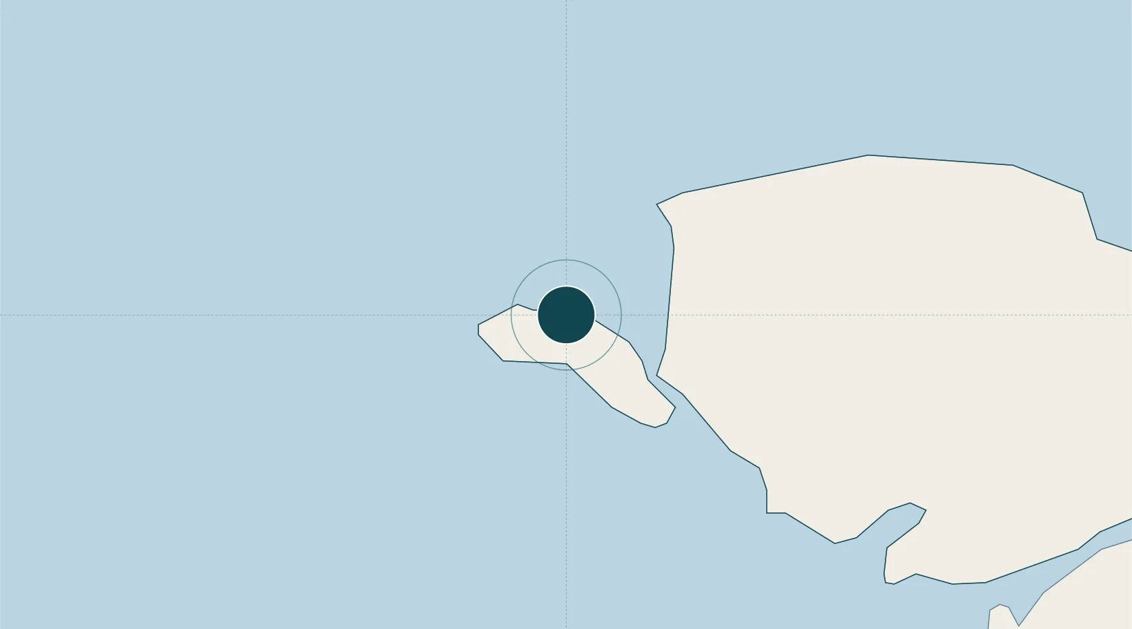
Location
Nearby Logistics Neighbours
Ports
- 1Caernarvon31 km
- 2Liverpool Bay Terminal76 km
- 3Mostyn91 km
- 4Douglas93 km
- 5Dublin107 km
Cities
- 1Trearddur4 km
- 2Rhosneigr12 km
- 3Cemaes Bay17 km
- 4Bodffordd19 km
- 5Aberffraw19 km
Airports
- 1Anglesey Airport10 km
- 2Isle of Man Airport85 km
- 3Dublin Airport109 km
- 4Hawarden Airport111 km
- 5Blackpool Airport118 km
Trade Zones
DatabookThe Record of Consolidated Knowledge
United Kingdom beyond logistics?