Medium airport · United Kingdom

Anglesey AirportEGOV
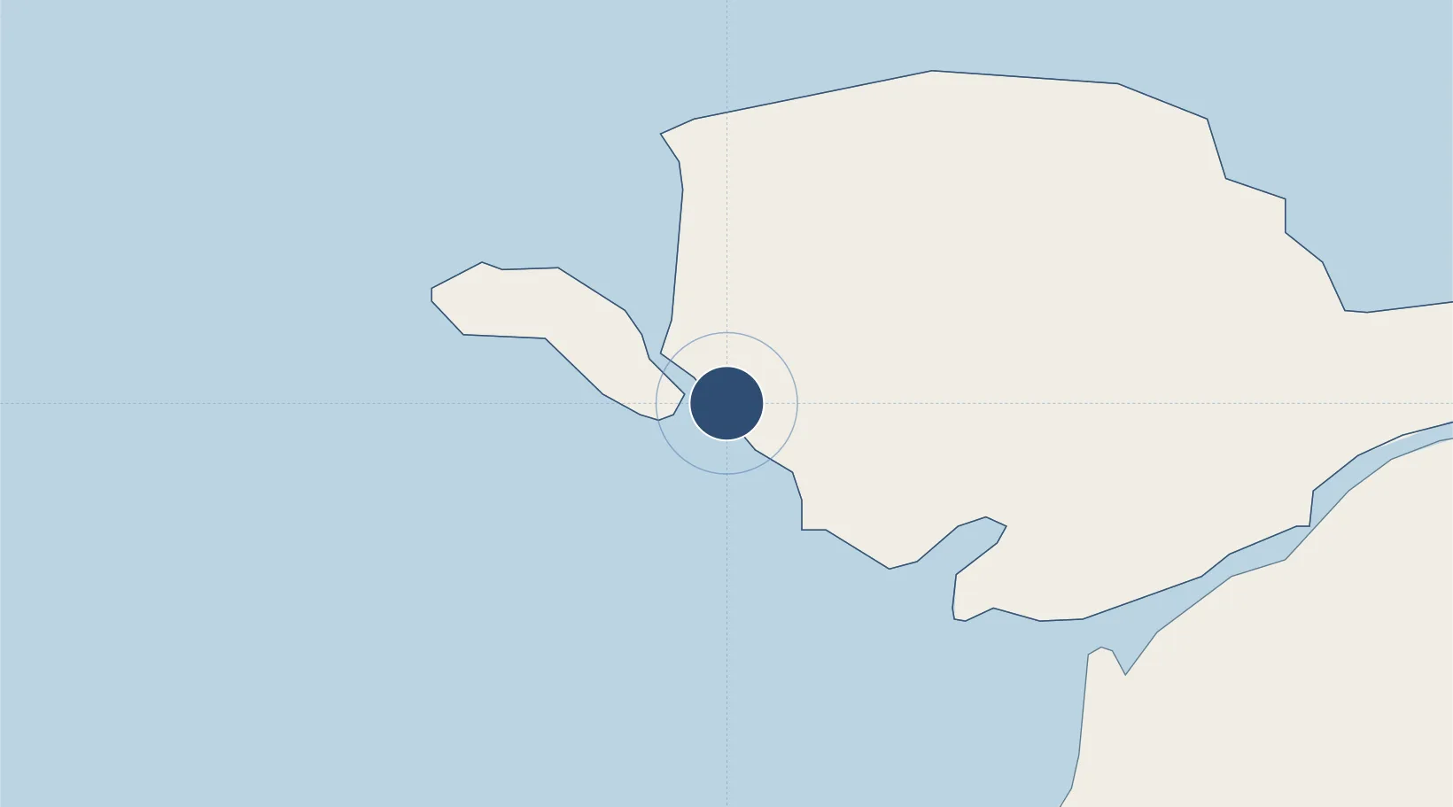
53.2481°, -4.5353°
7,513 ft
Longest runway
2
Runways
37 ft
Elevation

Runway & Layout

Anglesey Airport runway & taxiway layout
Runway & taxiway layout — OpenStreetMap (ODbL) / OurAirports

Radio Frequencies

ATIS
120.725 MHz
TWR
122.1 MHz
GND
122.1 MHz
APP
134.35 MHz
RDR
125.225 MHz
RADAR
OurAirports

Navaids

VYL TACAN Valley 108.40 MHz
OurAirports

Runways · 2

RunwayDimensions SurfaceTrue headingLit
13/31 7,513 × 151ft Asphalt 131°
01/19 5,377 × 151ft Asphalt 006°
OurAirports

Airport Specifications

IATA code
VLY
OurAirports
ICAO code
EGOV
OurAirports
Airport class
Medium airport
OurAirports
Scheduled service
No
OurAirports
Runway surface
Asphalt
OurAirports
Served city
Angelsey
OurAirports

Location

Location of EGOV
Natural Earth 10m (public domain) · Anglesey · EGOV · 53.25, -4.54GoogleOSMYandex

Nearby Logistics Neighbours

Airports
  1. 1Isle of Man Airport93 km
  2. 2Hawarden Airport104 km
  3. 3Liverpool John Lennon Airport113 km
  4. 4Blackpool Airport115 km
  5. 5Dublin Airport116 km
Nearest neighbours — logibook spatial index (haversine) over the source coordinates
Cities
  1. 1Rhosneigr2 km
  2. 2Trearddur7 km
  3. 3Aberffraw9 km
  4. 4Bodffordd11 km
  5. 5Llangefni16 km
Nearest neighbours — logibook spatial index (haversine) over the source coordinates
Ports
  1. 1Holyhead10 km
  2. 2Caernarvon21 km
  3. 3Liverpool Bay Terminal73 km
  4. 4Mostyn85 km
  5. 5Douglas100 km
Nearest neighbours — logibook spatial index (haversine) over the source coordinates
Trade Zones
  1. 1Isle of Man Free Zone and Business Park94 km
  2. 2Mersey Waters Enterprise Zone102 km
  3. 3Cheshire Science Corridor114 km
  4. 4Liverpool Free Zone114 km
  5. 5Dublin International Financial Services Centre114 km
Nearest neighbours — logibook spatial index (haversine) over the source coordinates
DatabookThe Record of Consolidated Knowledge
United Kingdom beyond logistics?
Browse databook

All Sources

AirportsOurAirports
Public domain
Portsthe NGA World Port Index
Public domain (US gov)
LocationsUN/LOCODE
UN/LOCODE — free
Trade Zonesthe World Bank SEZ database
CC BY 4.0
Trade ZonesOpen Zone Map
CC BY
InfrastructureOpenStreetMap
ODbL 1.0
← United Kingdom airports