Transport Functions
Multimodal
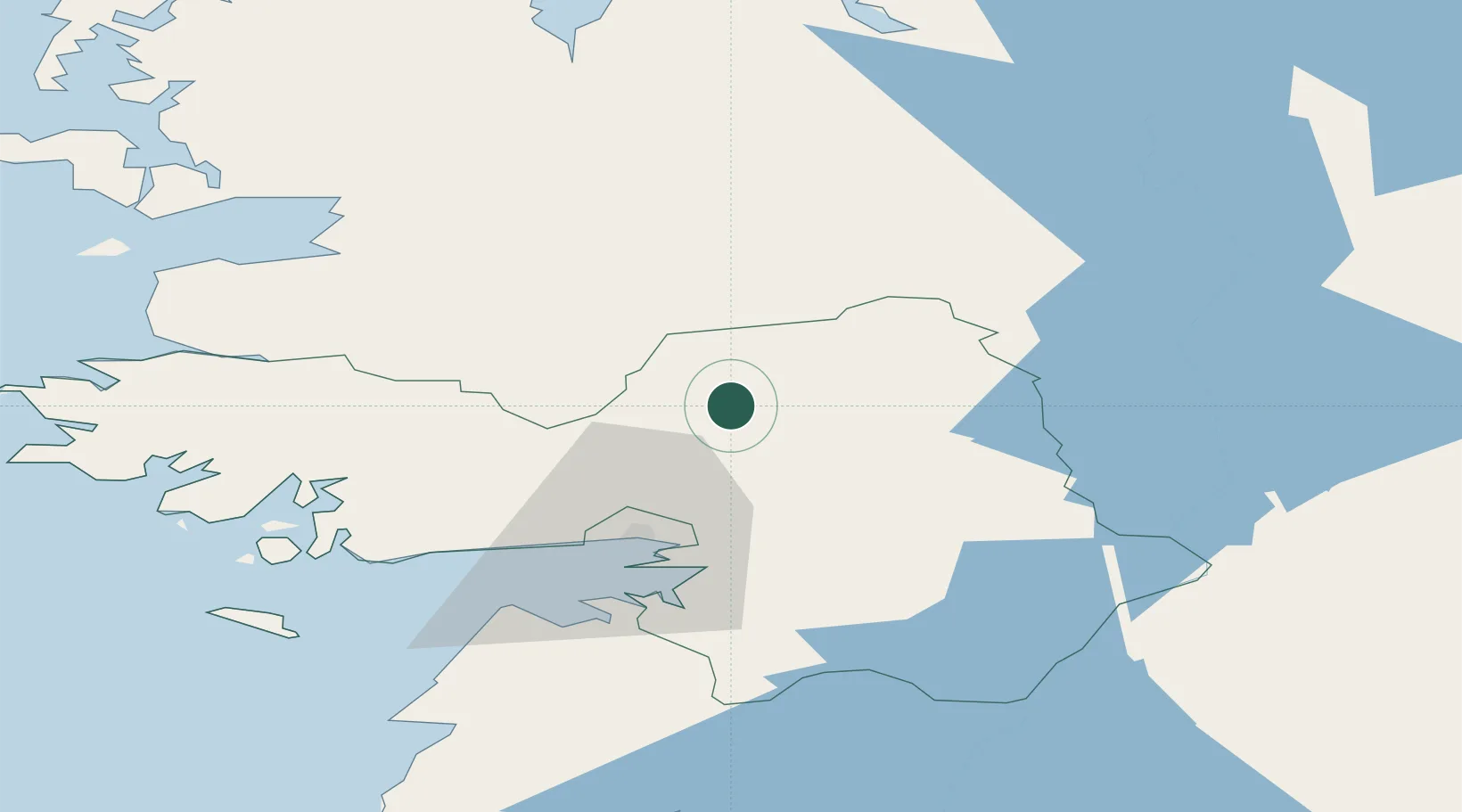
Hub Profile
Place type
Populated place
Region
Connacht
Population
9,647
Time zone
Europe/Dublin
Elevation
38 m
Location
Nearby Logistics Neighbours
Cities
- 1Ballindine18 km
- 2Kiltamagh38 km
- 3Ballymurray49 km
- 4Gort52 km
- 5Tynagh53 km
Airports
- 1Ireland West Airport Knock44 km
- 2Connemara Regional Airport52 km
- 3Inisheer Aerodrome67 km
- 4Inishmaan Aerodrome67 km
- 5Inishmore Aerodrome70 km
Trade Zones
DatabookThe Record of Consolidated Knowledge
Ireland beyond logistics?