UN/LOCODE hub · Indonesia
IDKID

Kidjang, Bintan

0.8588°, 104.6110°
1
Transport functions

Transport Functions

Port
UN/LOCODE

Hub Profile

Logistics facilities
1
UN/LOCODE

Location

Location of IDKID
Natural Earth 10m (public domain) · Kepulauan Riau · IDKID · 0.86, 104.61GoogleOSMYandex

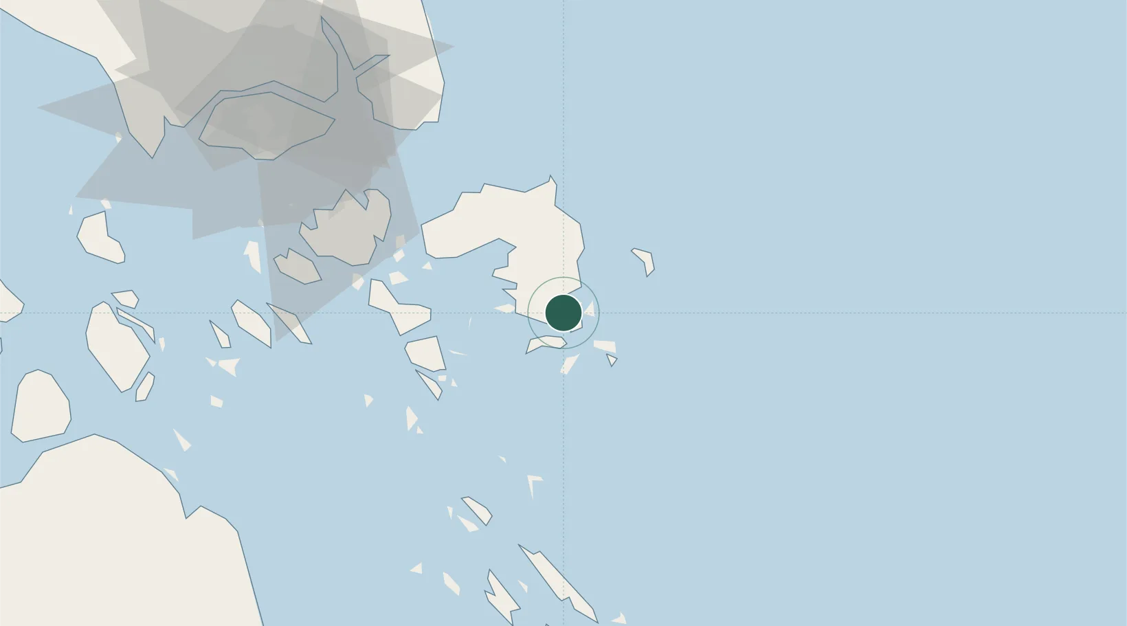
Nearby Logistics Neighbours

Cities
  1. 1Tanjungpinang19 km
  2. 2Lobam41 km
  3. 3Tanjunguban47 km
  4. 4Batam Island74 km
  5. 5Batu Ampar76 km
Nearest neighbours — logibook spatial index (haversine) over the source coordinates
Ports
  1. 1Kijang2 km
  2. 2Tanjungpinang19 km
  3. 3Tanjunguban50 km
  4. 4Sekupang83 km
  5. 5Pulau Sambu86 km
Nearest neighbours — logibook spatial index (haversine) over the source coordinates
Airports
  1. 1Raja Haji Fisabilillah International Airport11 km
  2. 2Hang Nadim International Airport62 km
  3. 3Changi Air Base (East)86 km
  4. 4Singapore Changi Airport88 km
  5. 5Paya Lebar Air Base96 km
Nearest neighbours — logibook spatial index (haversine) over the source coordinates
Trade Zones
  1. 1KEK Galang Batang8 km
  2. 2Bintan Industrial Estate42 km
  3. 3Kabil Integrated Industrial Estate (KIIE)60 km
  4. 4Taiwan International Industrial Estate61 km
  5. 5Batam-Bintan-Karimun Free Trade Zone66 km
Nearest neighbours — logibook spatial index (haversine) over the source coordinates
DatabookThe Record of Consolidated Knowledge
Indonesia beyond logistics?
Browse databook

All Sources

LocationsUN/LOCODE
UN/LOCODE — free
Portsthe NGA World Port Index
Public domain (US gov)
AirportsOurAirports
Public domain
Trade Zonesthe World Bank SEZ database
CC BY 4.0
Trade ZonesOpen Zone Map
CC BY
← Indonesia locations