Industrial Estate · Indonesia

Jakarta Industrial Estate - Pulogadung Active
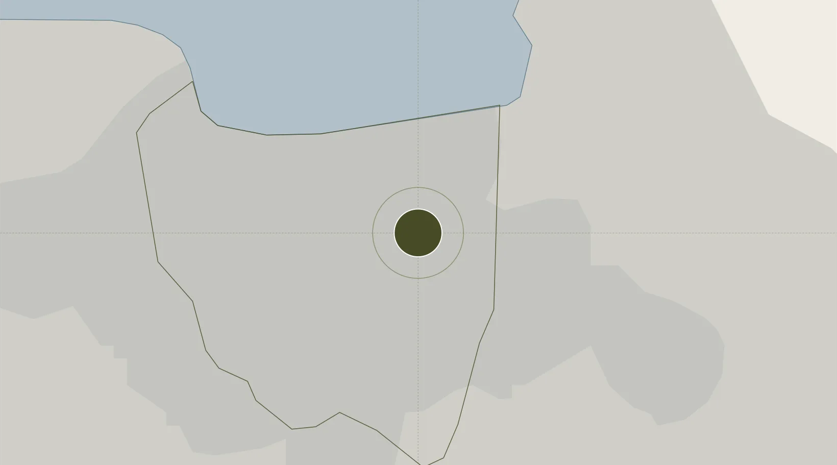
-6.1858°, 106.9197°
500 ha
Zone area
10.4 km
Nearest port
9.6 km
Nearest airport

Gateway access

Nearest neighbours — logibook spatial index (haversine) over the source coordinates

Zone profile

Zone type
Industrial Estate
the World Bank SEZ database
Region
Jakarta Raya
the World Bank SEZ database
Status
Active
the World Bank SEZ database
Established
1973
the World Bank SEZ database
Management
State-owned enterprise
the World Bank SEZ database
Operator
PT Persero Jakarta Industrial Estate Pulogadung
the World Bank SEZ database
Regulatory authority
Industrial Estate Authority of Indonesia*
the World Bank SEZ database
Legal framework
Government Regulation No 142/2015
the World Bank SEZ database

Location

Location of IDN34
Natural Earth 10m (public domain) · Jakarta Raya · IDN34 · -6.19, 106.92GoogleOSMYandex

Fiscal & incentives

Corporate tax
25%
the World Bank SEZ database
Tax relief
Under review
the World Bank SEZ database
Relief duration
Under review
the World Bank SEZ database
VAT
Under review
the World Bank SEZ database
Import duty (inputs)
Under review
the World Bank SEZ database
Import duty (capex)
Under review
the World Bank SEZ database
Profit repatriation
Under review
the World Bank SEZ database
Capital gains
Under review
the World Bank SEZ database
Withholding tax
Under review
the World Bank SEZ database
Min. investment
None
the World Bank SEZ database
Min. export
0%
the World Bank SEZ database
Employment incentive
Under review
the World Bank SEZ database
Developer incentive
No established framework
the World Bank SEZ database

Nearby Logistics Neighbours

Ports
  1. 1Jakarta10 km
  2. 2Ardjuna Oil Field94 km
  3. 3Tanjung Sekong106 km
  4. 4Merak Mas Terminal106 km
  5. 5Banten107 km
Nearest neighbours — logibook spatial index (haversine) over the source coordinates
Airports
  1. 1Halim Perdanakusuma International Airport10 km
  2. 2Soekarno-Hatta International Airport30 km
  3. 3Husein Sastranegara International Airport108 km
  4. 4Kertajati International Airport147 km
  5. 5Radin Inten II International Airport219 km
Nearest neighbours — logibook spatial index (haversine) over the source coordinates
Cities
  1. 1Jakarta Utara9 km
  2. 2Jakarta Pusat10 km
  3. 3Menteng10 km
  4. 4New Priok Port11 km
  5. 5Gambir12 km
Nearest neighbours — logibook spatial index (haversine) over the source coordinates
Trade Zones
  1. 1Kawasan Berikat Nusantara Industrial Estate5 km
  2. 2MM2100 Industrial Town23 km
  3. 3Jababeka Industrial Estate-Cikarang26 km
  4. 4Bekasi International Industrial Estate29 km
  5. 5Lippo Cikarang Industrial Estate29 km
Nearest neighbours — logibook spatial index (haversine) over the source coordinates
DatabookThe Record of Consolidated Knowledge
Indonesia beyond logistics?
Browse databook

All Sources

Trade Zonesthe World Bank SEZ database
CC BY 4.0
Portsthe NGA World Port Index
Public domain (US gov)
AirportsOurAirports
Public domain
LocationsUN/LOCODE
UN/LOCODE — free
← Indonesia trade zones