Transport Functions
Port
Hub Profile
Place type
Populated place
Region
West Java
Time zone
Asia/Jakarta
Elevation
3 m
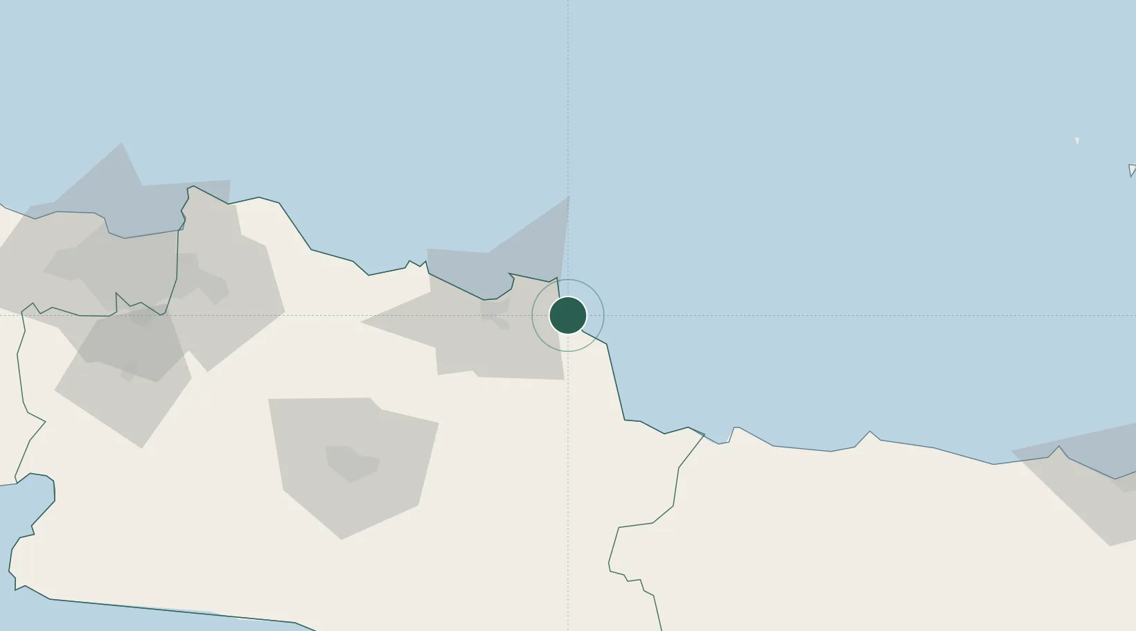
Location
Nearby Logistics Neighbours
Cities
- 1Cirebon (Tjeribon)43 km
- 2Banjaran100 km
- 3Nagrak122 km
- 4Jababeka139 km
- 5Jakarta, Java150 km
Ports
- 1Cirebon41 km
- 2Ardjuna Oil Field94 km
- 3Tegal96 km
- 4Pekalongan153 km
- 5Cilacap164 km
Airports
Trade Zones
DatabookThe Record of Consolidated Knowledge
Indonesia beyond logistics?