UN/LOCODE hub · Indonesia
IDBJN

Banjaran

-7.2000°, 108.7833°
1
Transport functions

Transport Functions

Multimodal
UN/LOCODE

Hub Profile

Place type
Local administrative seat
GeoNames
Region
Central Java
GeoNames
Time zone
Asia/Jakarta
GeoNames
Elevation
382 m
GeoNames

Location

Location of IDBJN
Natural Earth 10m (public domain) · Central Java · IDBJN · -7.20, 108.78GoogleOSMYandex

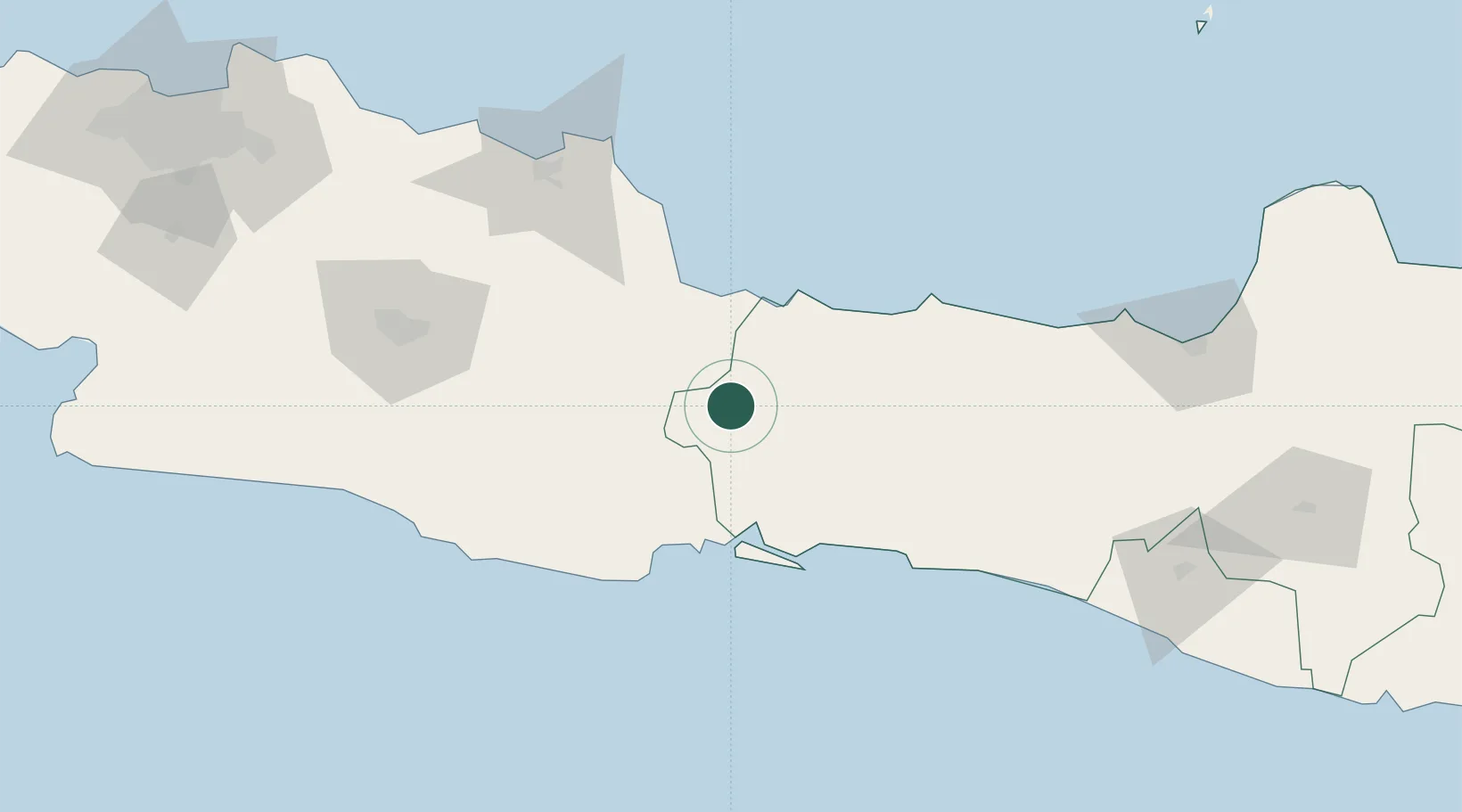
Nearby Logistics Neighbours

Cities
  1. 1Cirebon (Tjeribon)57 km
  2. 2Cilacap (Tjilatjap)64 km
  3. 3Balongan100 km
  4. 4Batang111 km
  5. 5Wonosobo125 km
Nearest neighbours — logibook spatial index (haversine) over the source coordinates
Ports
  1. 1Tegal55 km
  2. 2Cirebon59 km
  3. 3Cilacap64 km
  4. 4Pekalongan108 km
  5. 5Semarang182 km
Nearest neighbours — logibook spatial index (haversine) over the source coordinates
Airports
  1. 1Tunggul Wulung Airport57 km
  2. 2Nusawiru Airport66 km
  3. 3Kertajati International Airport92 km
  4. 4Husein Sastranegara International Airport137 km
  5. 5Yogyakarta International Airport161 km
Nearest neighbours — logibook spatial index (haversine) over the source coordinates
Trade Zones
  1. 1Rancaekek Industrial Estate112 km
  2. 2KEK Kendal164 km
  3. 3Kota Bukit Indah Industrial City169 km
  4. 4Bukit Semarang Baru Industrial Park171 km
  5. 5Kujang Industrial Estate173 km
Nearest neighbours — logibook spatial index (haversine) over the source coordinates
DatabookThe Record of Consolidated Knowledge
Indonesia beyond logistics?
Browse databook

All Sources

LocationsUN/LOCODE
UN/LOCODE — free
Portsthe NGA World Port Index
Public domain (US gov)
AirportsOurAirports
Public domain
Trade Zonesthe World Bank SEZ database
CC BY 4.0
Trade ZonesOpen Zone Map
CC BY
← Indonesia locations