Small airport · Indonesia

Nusawiru AirportWICN
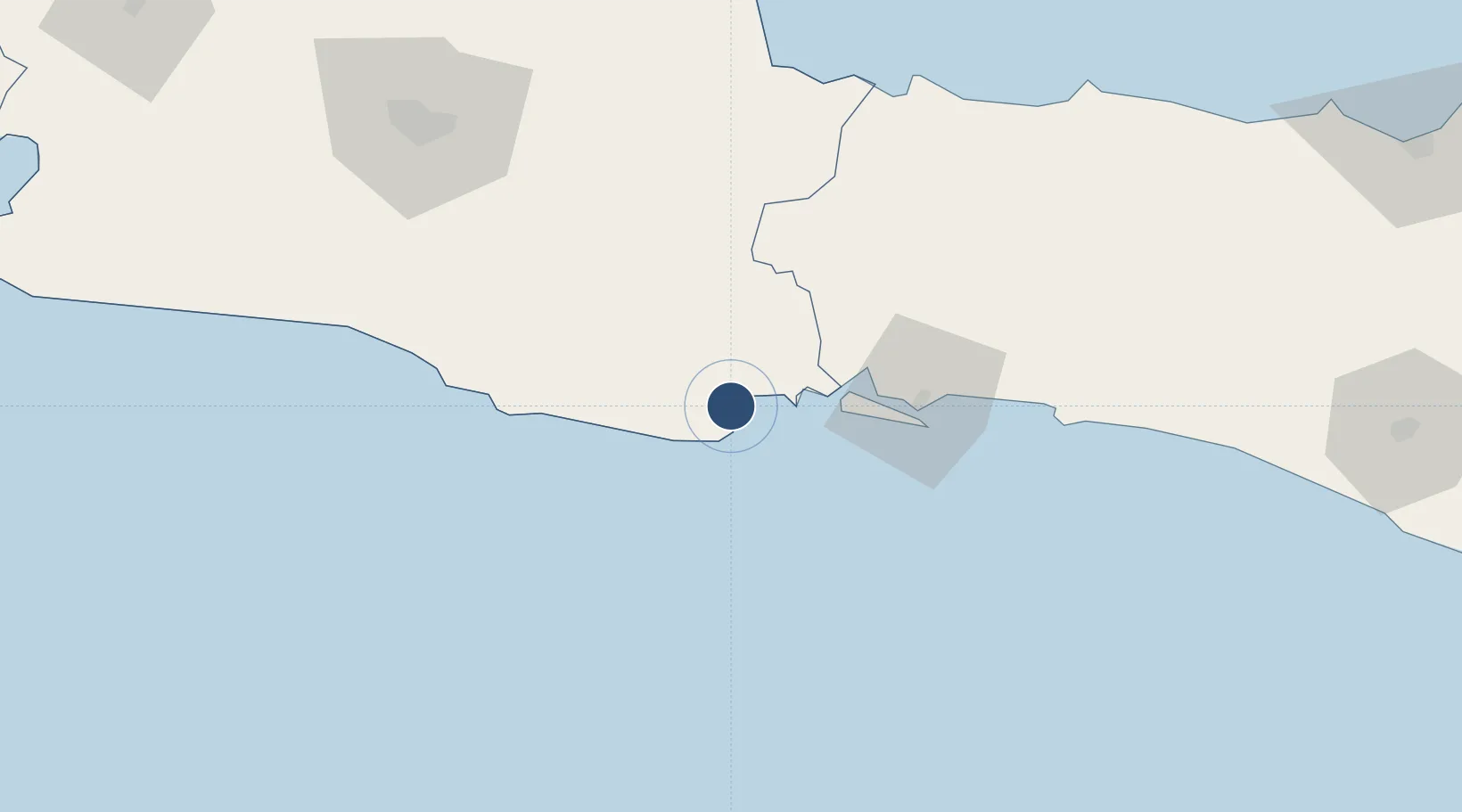
-7.7199°, 108.4890°
4,549 ft
Longest runway
1
Runways
16 ft
Elevation

Runway & Layout

Nusawiru Airport runway & taxiway layout
Runway & taxiway layout — OpenStreetMap (ODbL) / OurAirports

Radio Frequencies

RDO
122 MHz
OurAirports

Navaids

NW NDB Nusawiru 357 kHz
OurAirports

Runways · 1

RunwayDimensions SurfaceTrue headingLit
07/25 4,549 × 94ft Asphalt 072°
OurAirports

Airport Specifications

IATA code
CJN
OurAirports
ICAO code
WICN
OurAirports
Airport class
Small airport
OurAirports
Scheduled service
Yes
OurAirports
Runway surface
Asphalt
OurAirports
Served city
Cijulang
OurAirports

Location

Location of WICN
Natural Earth 10m (public domain) · Jawa Barat · WICN · -7.72, 108.49GoogleOSMYandex

Nearby Logistics Neighbours

Airports
  1. 1Tunggul Wulung Airport61 km
  2. 2Kertajati International Airport125 km
  3. 3Husein Sastranegara International Airport136 km
  4. 4Yogyakarta International Airport174 km
  5. 5Adisutjipto International Airport214 km
Nearest neighbours — logibook spatial index (haversine) over the source coordinates
Cities
  1. 1Cilacap (Tjilatjap)56 km
  2. 2Banjaran66 km
  3. 3Cirebon (Tjeribon)110 km
  4. 4Nagrak128 km
  5. 5Balongan149 km
Nearest neighbours — logibook spatial index (haversine) over the source coordinates
Ports
  1. 1Cilacap56 km
  2. 2Cirebon112 km
  3. 3Tegal120 km
  4. 4Pekalongan165 km
  5. 5Ardjuna Oil Field221 km
Nearest neighbours — logibook spatial index (haversine) over the source coordinates
Trade Zones
  1. 1Rancaekek Industrial Estate114 km
  2. 2Kota Bukit Indah Industrial City182 km
  3. 3Kujang Industrial Estate187 km
  4. 4Mitrakarawang Industrial Estate198 km
  5. 5Karawang International Industrial City201 km
Nearest neighbours — logibook spatial index (haversine) over the source coordinates
DatabookThe Record of Consolidated Knowledge
Indonesia beyond logistics?
Browse databook

All Sources

AirportsOurAirports
Public domain
Portsthe NGA World Port Index
Public domain (US gov)
LocationsUN/LOCODE
UN/LOCODE — free
Trade Zonesthe World Bank SEZ database
CC BY 4.0
Trade ZonesOpen Zone Map
CC BY
InfrastructureOpenStreetMap
ODbL 1.0
← Indonesia airports