Transport Functions
Port
Road
Airport
Hub Profile
Region
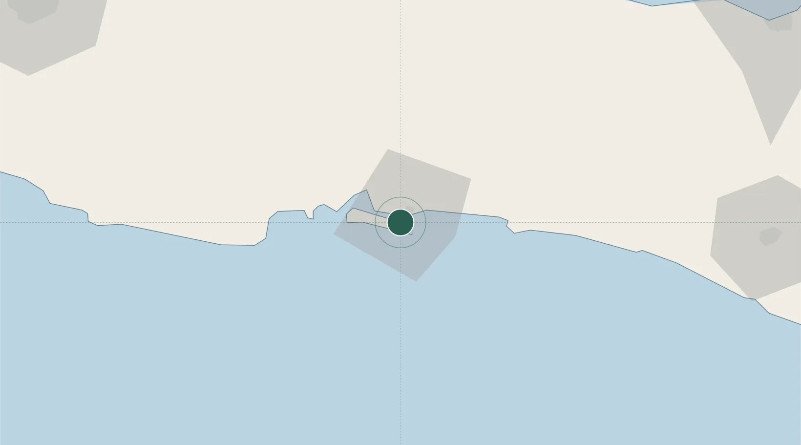
JT
Location
Nearby Logistics Neighbours
Cities
- 1Banjaran64 km
- 2Wonosobo107 km
- 3Cirebon (Tjeribon)121 km
- 4Batang123 km
- 5Temanggung137 km
Ports
- 1Tegal99 km
- 2Cirebon123 km
- 3Pekalongan125 km
- 4Semarang179 km
- 5Ardjuna Oil Field250 km
Airports
Trade Zones
- 1Rancaekek Industrial Estate158 km
- 2KEK Kendal164 km
- 3Bukit Semarang Baru Industrial Park165 km
- 4Wijayakusuma Industrial Estate170 km
- 5Candi Industrial Estate175 km
DatabookThe Record of Consolidated Knowledge
Indonesia beyond logistics?