Transport Functions
Port
Road
Airport
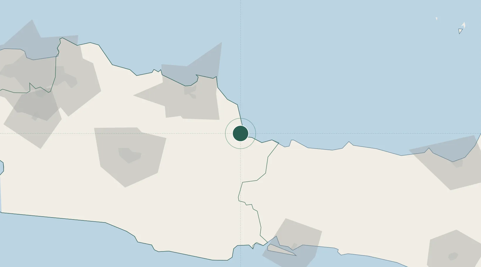
Location
Nearby Logistics Neighbours
Cities
- 1Balongan43 km
- 2Banjaran57 km
- 3Nagrak120 km
- 4Cilacap (Tjilatjap)121 km
- 5Batang132 km
Ports
- 1Tegal64 km
- 2Cilacap121 km
- 3Pekalongan126 km
- 4Ardjuna Oil Field133 km
- 5Jakarta199 km
Airports
Trade Zones
DatabookThe Record of Consolidated Knowledge
Indonesia beyond logistics?