Transport Functions
Port
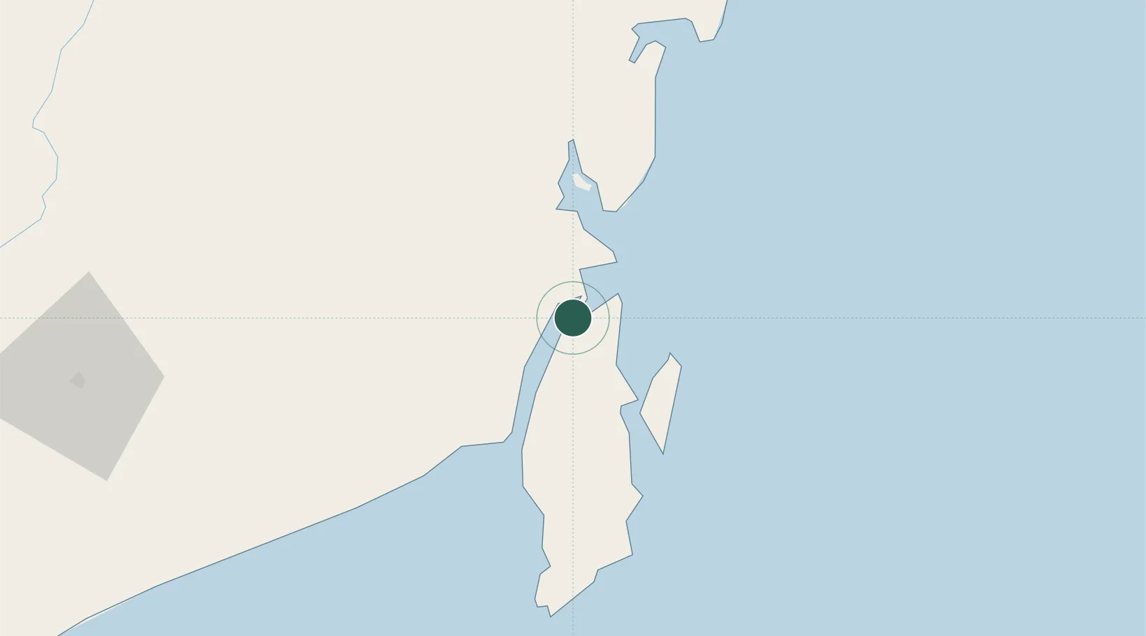
Location
Nearby Logistics Neighbours
Cities
- 1Setagin2 km
- 2Tarjun8 km
- 3North Pulau Laut15 km
- 4Tanjung Pemancingan17 km
- 5Batulicin26 km
Ports
- 1Stagen2 km
- 2Kota Baru9 km
- 3North Pulau Laut Coal Terminal18 km
- 4Gunung Batu Besar76 km
- 5Tanah Merah163 km
Airports
Trade Zones
- 1Kariangau Industrial Estate236 km
- 2Kaltim Industrial Estate413 km
- 3Kawasan Industri Makassar423 km
- 4Delma Industrial Park426 km
- 5Terpadu Takalar Industrial Estate436 km
DatabookThe Record of Consolidated Knowledge
Indonesia beyond logistics?