Transport Functions
Port
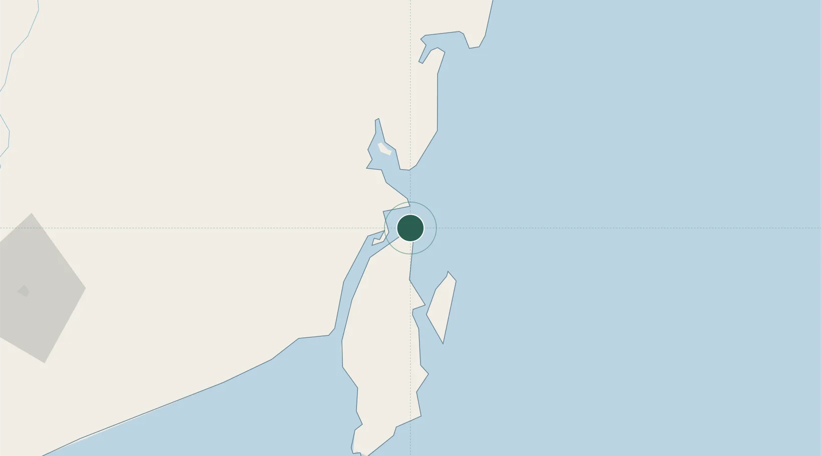
Location
Nearby Logistics Neighbours
Cities
- 1Tanjung Pemancingan4 km
- 2Setagin13 km
- 3Pulau Laut15 km
- 4Tarjun21 km
- 5Sebuku Island33 km
Ports
- 1Kota Baru6 km
- 2Stagen16 km
- 3Gunung Batu Besar67 km
- 4Tanah Merah156 km
- 5Banjarmasin187 km
Airports
Trade Zones
- 1Kariangau Industrial Estate225 km
- 2Kaltim Industrial Estate401 km
- 3Kawasan Industri Makassar415 km
- 4Delma Industrial Park418 km
- 5Terpadu Takalar Industrial Estate429 km
DatabookThe Record of Consolidated Knowledge
Indonesia beyond logistics?