Large airport · Malaysia
Kuala Lumpur International AirportWMKK
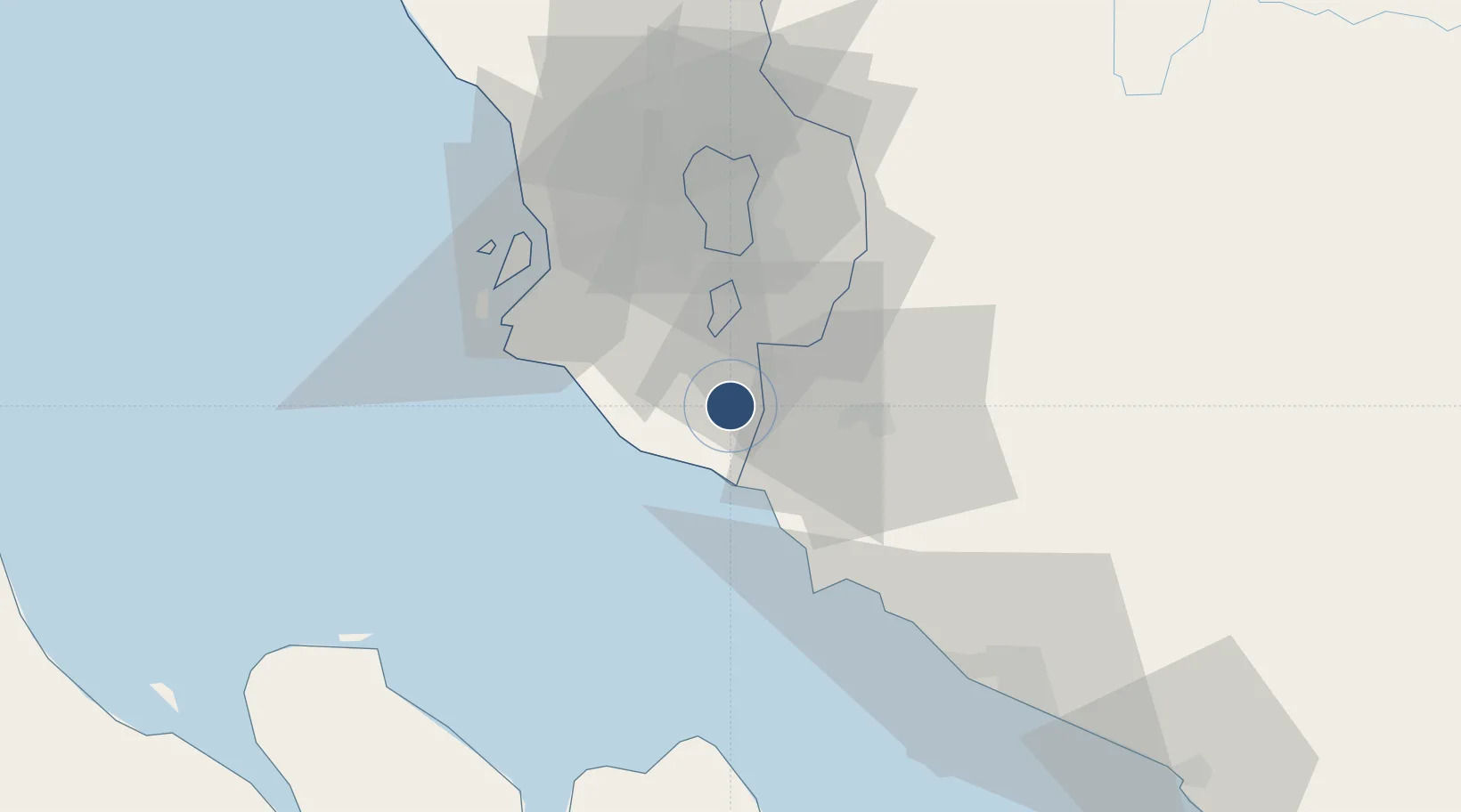
2.7456°, 101.7100°
13,530 ft
Longest runway
3
Runways
69 ft
Elevation
Runway & Layout

Radio Frequencies
ATIS
126.45 MHz
LUMPUR ATIS FOR DEPARTURE
ATIS
128.05 MHz
LUMPUR ATIS FOR ARRIVALS
TWR
118.5 MHz
LUMPUR TWR 14R/32L
TWR
118.8 MHz
LUMPUR TWR 14L/32R
TWR
119.8 MHz
LUMPUR TWR RWY 15/33
GND
121.65 MHz
LUMPUR GND
GND
122.275 MHz
LUMPUR GND
CLD
126 MHz
LUMPUR CLNC DEL
A/D
119.45 MHz
LUMPUR APP
DEPT
135.25 MHz
LUMPUR DEPARTURE
Navaids
VKL VOR-DME Kuala Lumpur 116.10 MHz
Runways · 3
| Runway | Dimensions | Surface | True heading | Lit |
|---|---|---|---|---|
| 14L/32R | 13,530 × 197ft | Asphalt / concrete | 146° | ✓ |
| 14R/32L | 13,288 × 197ft | Asphalt / concrete | 146° | ✓ |
| 15/33 | 12,993 × 197ft | Asphalt / concrete | 146° | ✓ |
Airport Specifications
IATA code
KUL
ICAO code
WMKK
Airport class
Large airport
Scheduled service
Yes
Runway surface
Asphalt / concrete
Served city
Sepang
Location
Nearby Logistics Neighbours
Airports
- 1Sultan Abdul Aziz Shah International Airport46 km
- 2Malacca International Airport81 km
- 3Pinang Kampai Airport130 km
- 4Kluang Airport194 km
- 5Kuantan Airport202 km
Cities
- 1Bandar Enstek3 km
- 2Sepang, Selangor7 km
- 3Nilai13 km
- 4Kuala Langat14 km
- 5Sendayan Village17 km
Ports
- 1Port Dickson25 km
- 2Port Klang45 km
- 3Pelabuhan Sungai Udang72 km
- 4Melaka85 km
- 5Dumai122 km
Trade Zones
DatabookThe Record of Consolidated Knowledge
Malaysia beyond logistics?