Transport Functions
Port
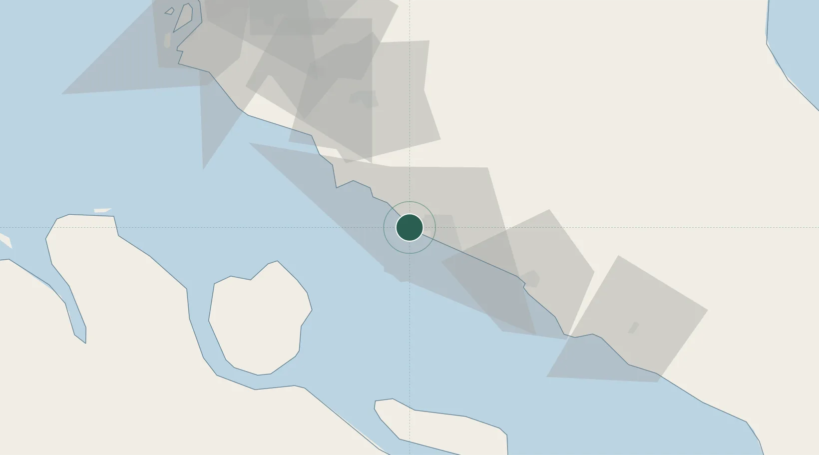
Location
Nearby Logistics Neighbours
Cities
- 1Sungai Udang6 km
- 2Alor Gajah15 km
- 3Rembau37 km
- 4Senawang53 km
- 5Seremban56 km
Ports
- 1Melaka14 km
- 2Port Dickson50 km
- 3Muar53 km
- 4Bengkalis87 km
- 5Dumai99 km
Airports
DatabookThe Record of Consolidated Knowledge
Malaysia beyond logistics?