Transport Functions
Port
Hub Profile
Region
83
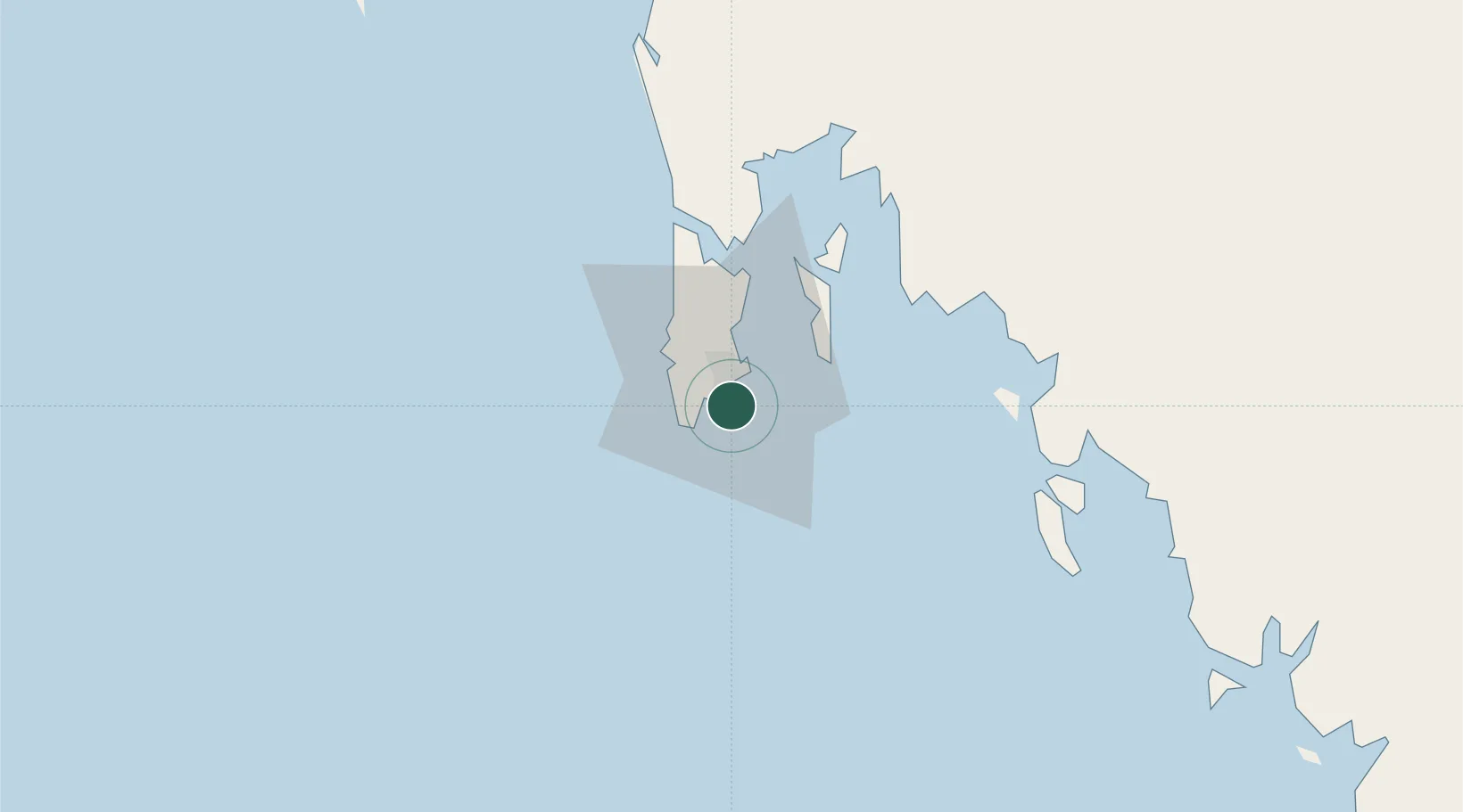
Location
Nearby Logistics Neighbours
Cities
- 1Ko Yao24 km
- 2Krabi46 km
- 3Ko Lanta61 km
- 4Phang-Nga66 km
- 5Ban Talat Takua Pa113 km
Ports
- 1Krabi63 km
- 2Kantang Harbor132 km
- 3Port Langkawi215 km
- 4Khanom226 km
- 5Songkhla Harbor250 km
Airports
- 1Phuket International Airport34 km
- 2Krabi International Airport72 km
- 3Trang Airport138 km
- 4Surat Thani Airport167 km
- 5Cha Eian Airport186 km
DatabookThe Record of Consolidated Knowledge
Thailand beyond logistics?