UN/LOCODE hub · Indonesia
IDSEI

Sebuku Island

-3.5000°, 116.3667°
1
Transport functions

Transport Functions

Multimodal
UN/LOCODE

Hub Profile

Region
KS
GeoNames

Location

Location of IDSEI
Natural Earth 10m (public domain) · KS · IDSEI · -3.50, 116.37GoogleOSMYandex

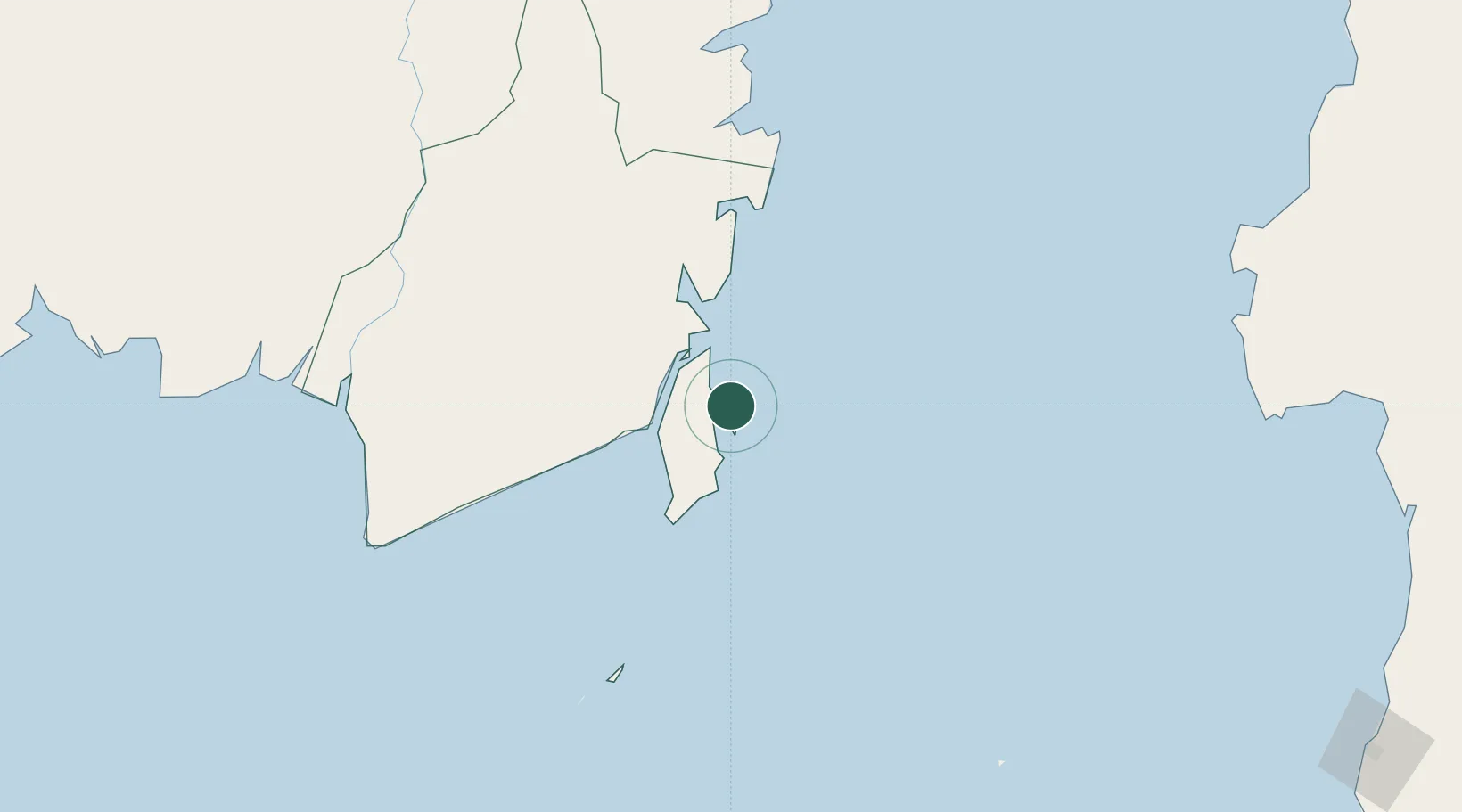
Nearby Logistics Neighbours

Cities
  1. 1Setagin33 km
  2. 2North Pulau Laut33 km
  3. 3Pulau Laut34 km
  4. 4Tanjung Pemancingan37 km
  5. 5Tarjun41 km
Nearest neighbours — logibook spatial index (haversine) over the source coordinates
Ports
  1. 1Stagen33 km
  2. 2Kota Baru34 km
  3. 3North Pulau Laut Coal Terminal35 km
  4. 4Gunung Batu Besar99 km
  5. 5Tanah Merah189 km
Nearest neighbours — logibook spatial index (haversine) over the source coordinates
Airports
  1. 1Gusti Syamsir Alam Airport32 km
  2. 2Bersujud Airport42 km
  3. 3Warukin Airport176 km
  4. 4Syamsudin Noor International Airport178 km
  5. 5Sultan Aji Muhammad Sulaiman Sepinggan International Airport255 km
Nearest neighbours — logibook spatial index (haversine) over the source coordinates
Trade Zones
  1. 1Kariangau Industrial Estate253 km
  2. 2Kawasan Industri Makassar390 km
  3. 3Terpadu Takalar Industrial Estate402 km
  4. 4Kaltim Industrial Estate428 km
  5. 5Delma Industrial Park449 km
Nearest neighbours — logibook spatial index (haversine) over the source coordinates
DatabookThe Record of Consolidated Knowledge
Indonesia beyond logistics?
Browse databook

All Sources

LocationsUN/LOCODE
UN/LOCODE — free
Portsthe NGA World Port Index
Public domain (US gov)
AirportsOurAirports
Public domain
Trade Zonesthe World Bank SEZ database
CC BY 4.0
Trade ZonesOpen Zone Map
CC BY
← Indonesia locations