Transport Functions
Multimodal
Hub Profile
Place type
Populated place
Region
Riau Islands
Time zone
Asia/Jakarta
Elevation
6 m
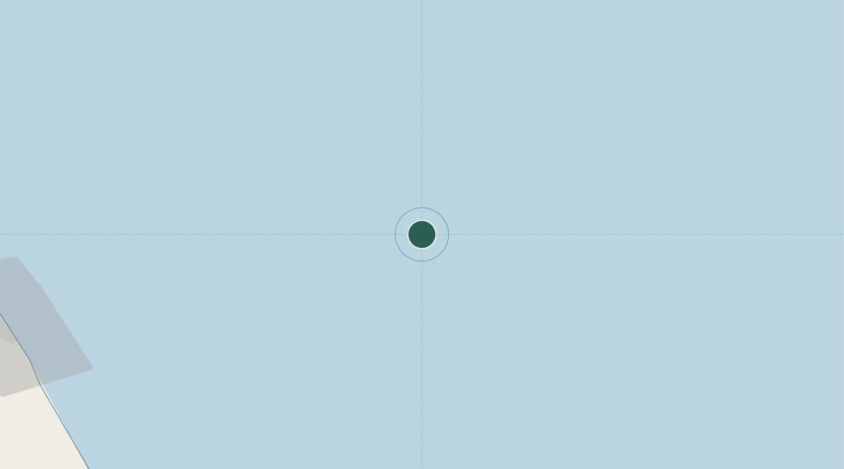
Location
Nearby Logistics Neighbours
Cities
- 1Cendor13 km
- 2Angsi65 km
- 3Penara Marine Terminal67 km
- 4Abu89 km
- 5Anoa Natuna Pt.119 km
Ports
- 1Tapis Marine Terminal A47 km
- 2Kuala Trengganu168 km
- 3Belida Marine Terminal180 km
- 4Kemaman Harbor203 km
- 5Kuantan New Port230 km
Airports
- 1Sultan Mahmud Airport171 km
- 2Kerteh Airport182 km
- 3Kuantan Airport262 km
- 4Sultan Ismail Petra Airport263 km
- 5Tioman Airport321 km
Trade Zones
DatabookThe Record of Consolidated Knowledge
Indonesia beyond logistics?