Diversified Zone · Indonesia

Rancaekek Industrial Estate Under Development
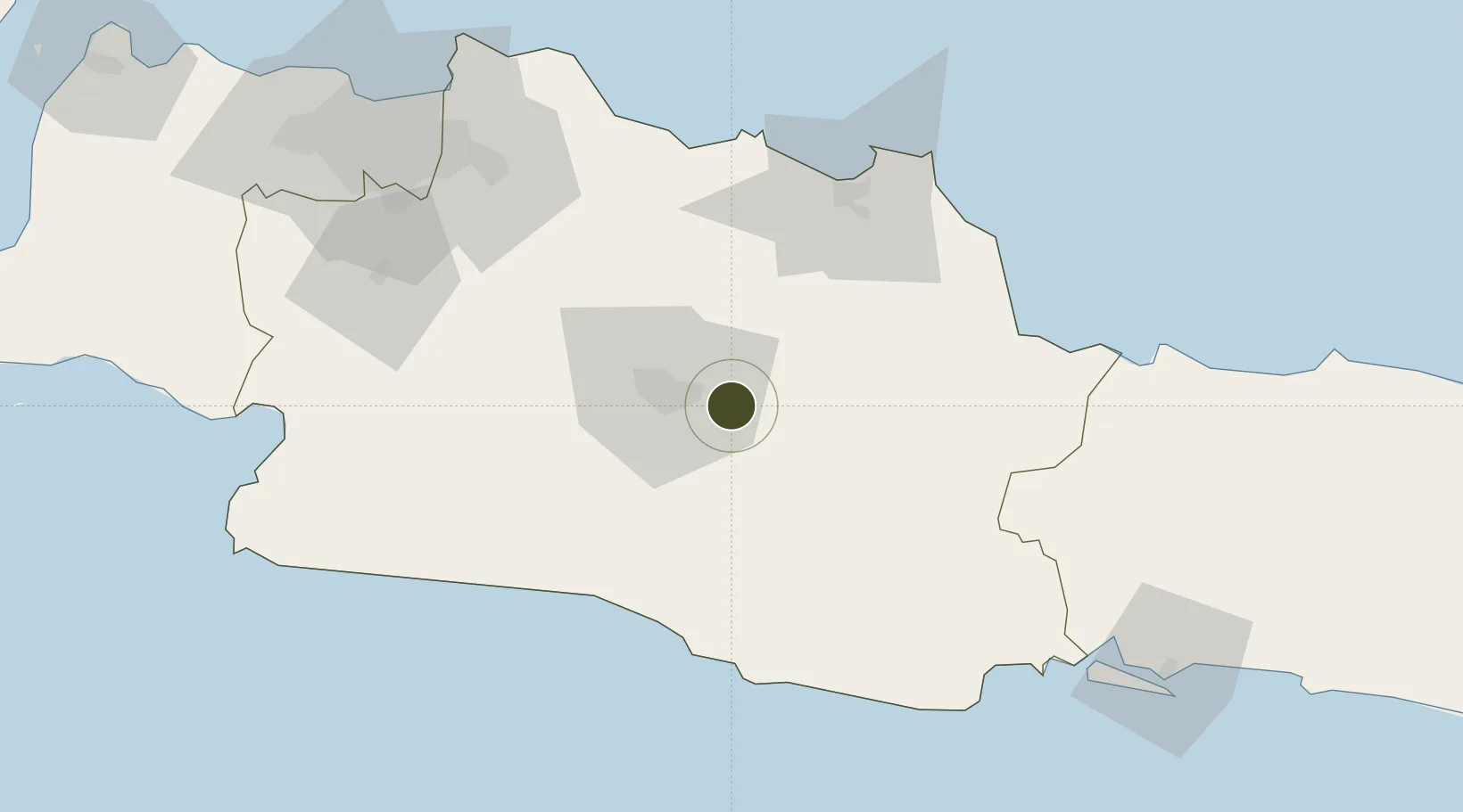
-6.9620°, 107.7975°
200 ha
Zone area
89.2 km
Nearest port
25.4 km
Nearest airport

Gateway access

Nearest neighbours — logibook spatial index (haversine) over the source coordinates

Zone profile

Zone type
Diversified Zone
Open Zone Map
Region
Jawa Barat
Open Zone Map
Status
Under Development
Open Zone Map
Management
Public-Private Partnership
Open Zone Map
Operator
PT Dwipapuri Abadi
Open Zone Map
Legal framework
The Law No 3. Article 106, issued in 2014
Open Zone Map

Location

Location of ozm-2355
Natural Earth 10m (public domain) · Jawa Barat · ozm-2355 · -6.96, 107.80GoogleOSMYandex

Nearby Logistics Neighbours

Ports
  1. 1Cirebon89 km
  2. 2Ardjuna Oil Field120 km
  3. 3Jakarta139 km
  4. 4Tegal148 km
  5. 5Cilacap158 km
Nearest neighbours — logibook spatial index (haversine) over the source coordinates
Airports
  1. 1Husein Sastranegara International Airport25 km
  2. 2Kertajati International Airport54 km
  3. 3Nusawiru Airport114 km
  4. 4Halim Perdanakusuma International Airport126 km
  5. 5Tunggul Wulung Airport156 km
Nearest neighbours — logibook spatial index (haversine) over the source coordinates
Cities
  1. 1Nagrak31 km
  2. 2Cirebon (Tjeribon)89 km
  3. 3Balongan93 km
  4. 4Jababeka105 km
  5. 5Banjaran112 km
Nearest neighbours — logibook spatial index (haversine) over the source coordinates
Trade Zones
  1. 1Kota Bukit Indah Industrial City69 km
  2. 2Kujang Industrial Estate73 km
  3. 3Mitrakarawang Industrial Estate84 km
  4. 4Karawang International Industrial City88 km
  5. 5Greenland International Industrial City92 km
Nearest neighbours — logibook spatial index (haversine) over the source coordinates
DatabookThe Record of Consolidated Knowledge
Indonesia beyond logistics?
Browse databook

All Sources

Trade ZonesOpen Zone Map
CC BY
Portsthe NGA World Port Index
Public domain (US gov)
AirportsOurAirports
Public domain
LocationsUN/LOCODE
UN/LOCODE — free
← Indonesia trade zones