Transport Functions
Multimodal
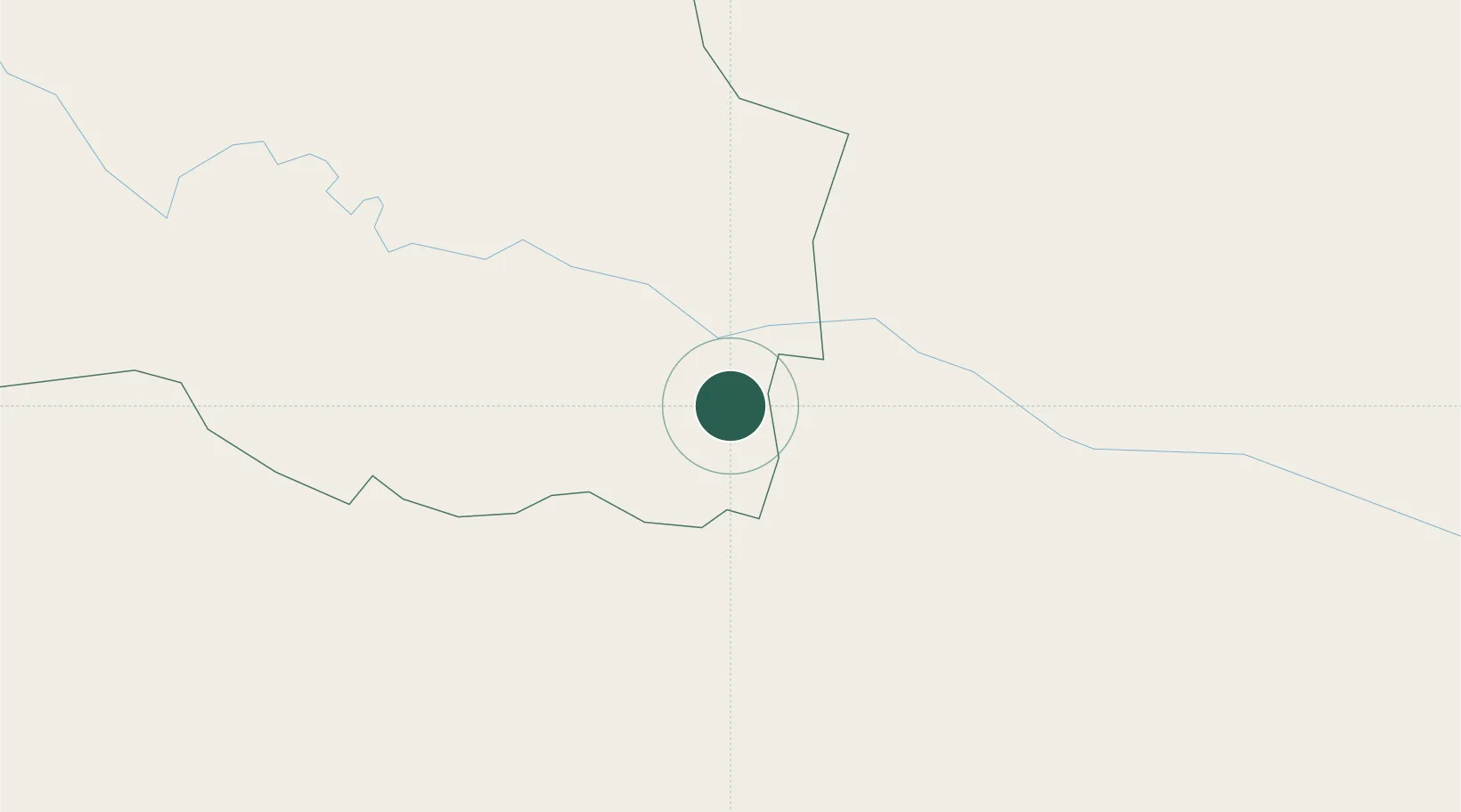
Hub Profile
Place type
Populated place
Region
Monte Cristi Province
Time zone
America/Santo_Domingo
Elevation
59 m
Location
Nearby Logistics Neighbours
Cities
- 1Luperon42 km
- 2Villa Gonzalez44 km
- 3Hato del Yaque48 km
- 4Manzanillo59 km
- 5Licey62 km
Ports
- 1Amber Cove52 km
- 2Puerto Plata57 km
- 3Pepillo Salcedo59 km
- 4Manzanillo59 km
- 5Cap Haitien106 km
Airports
DatabookThe Record of Consolidated Knowledge
Dominican Republic beyond logistics?