UN/LOCODE hub · Haiti
HTSMC

Baie de Saint-Marc

19.1167°, -72.7000°
1
Transport functions

Transport Functions

Port
UN/LOCODE

Hub Profile

Region
AR
GeoNames

Location

Location of HTSMC
Natural Earth 10m (public domain) · AR · HTSMC · 19.12, -72.70GoogleOSMYandex

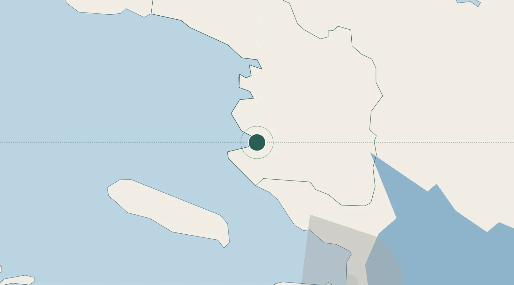
Nearby Logistics Neighbours

Cities
  1. 1Lafito Port61 km
  2. 2Lafiteau64 km
  3. 3Leogane69 km
  4. 4Port-au-Prince72 km
  5. 5Santo74 km
Nearest neighbours — logibook spatial index (haversine) over the source coordinates
Ports
  1. 1Port Au Prince73 km
  2. 2Petit Goave78 km
  3. 3Miragoane84 km
  4. 4Cap Haitien89 km
  5. 5Jacmel100 km
Nearest neighbours — logibook spatial index (haversine) over the source coordinates
Airports
  1. 1Toussaint Louverture International Airport74 km
  2. 2Cap Haitien International Airport86 km
  3. 3Port-de-Paix Airport92 km
  4. 4Jacmel Airport99 km
  5. 5Antoine-Simon International Airport148 km
Nearest neighbours — logibook spatial index (haversine) over the source coordinates
Trade Zones
  1. 1Lafito Port Free Zone59 km
  2. 2FTZ Hispaniola72 km
  3. 3Zone Franche Santo-Dujour (FTZ Santo Dujour)74 km
  4. 4FTZ SIDSA (Société Immobilière de Développement SA)76 km
  5. 5FTZ de Digneron82 km
Nearest neighbours — logibook spatial index (haversine) over the source coordinates
DatabookThe Record of Consolidated Knowledge
Haiti beyond logistics?
Browse databook

All Sources

LocationsUN/LOCODE
UN/LOCODE — free
Portsthe NGA World Port Index
Public domain (US gov)
AirportsOurAirports
Public domain
Trade Zonesthe World Bank SEZ database
CC BY 4.0
Trade ZonesOpen Zone Map
CC BY
← Haiti locations