Medium airport · Haiti
Port-de-Paix AirportMTPX
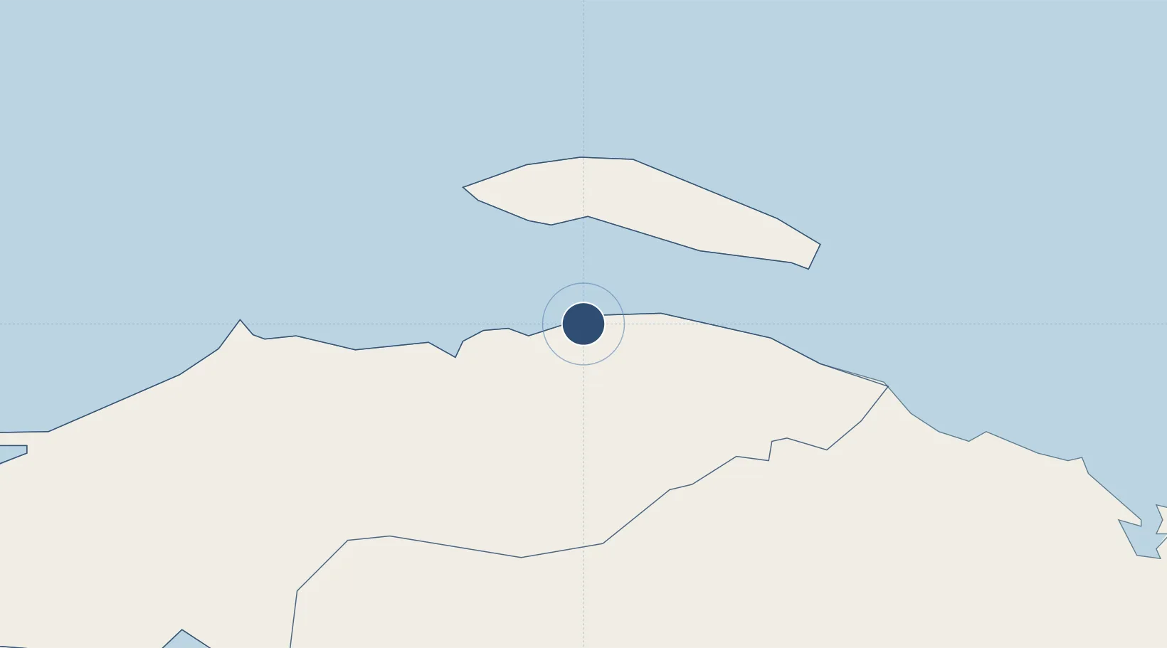
19.9340°, -72.8480°
2,100 ft
Longest runway
1
Runways
9 ft
Elevation
Runway & Layout

Runways · 1
| Runway | Dimensions | Surface | True heading | Lit |
|---|---|---|---|---|
| 05/23 | 2,100 × —ft | Gravel | — | — |
Airport Specifications
IATA code
PAX
ICAO code
MTPX
Airport class
Medium airport
Scheduled service
No
Runway surface
Gravel
Served city
Port-de-Paix
Location
Nearby Logistics Neighbours
Airports
- 1Cap Haitien International Airport72 km
- 2Inagua Airport144 km
- 3Toussaint Louverture International Airport162 km
- 4Gustavo Rizo Airport180 km
- 5Jacmel Airport191 km
Cities
- 1Cap-Haïtien71 km
- 2Caracol91 km
- 3Baie de Saint-Marc92 km
- 4Mao114 km
- 5Manzanillo118 km
Ports
- 1Cap Haitien70 km
- 2Manzanillo117 km
- 3Pepillo Salcedo118 km
- 4Matthew Town143 km
- 5Port Au Prince163 km
Trade Zones
- 1FTZ de Trou du Nord92 km
- 2Caracol Free Zone93 km
- 3CODEVI Free Zone125 km
- 4Lafito Port Free Zone147 km
- 5FTZ Hispaniola161 km
DatabookThe Record of Consolidated Knowledge
Haiti beyond logistics?