Channel & Berth Profile
Pilotage, Tugs & Services
Pilotage compulsoryNO
Pilotage availableNO
Pilotage advisableYES
Local assistanceNO
Tug assistanceNO
Salvage tugsNO
Potable waterYES
MedicalYES
Facilities & Capabilities
Container—
Ro-Ro—
Liquid bulk—
Dry bulk—
Oil terminal—
Break bulk—
Dry dock—
Repairs—
BunkeringNO
Rail link—
Dangerous cargo—
ISPS security—
Harbour Specifications
Harbour size
Very Small
Harbour type
Open Roadstead
Shelter
Fair
Water body
Caribbean Sea; North Atlantic Ocean
Tidal range
1 m
Overhead limit
No
Pilotage
No
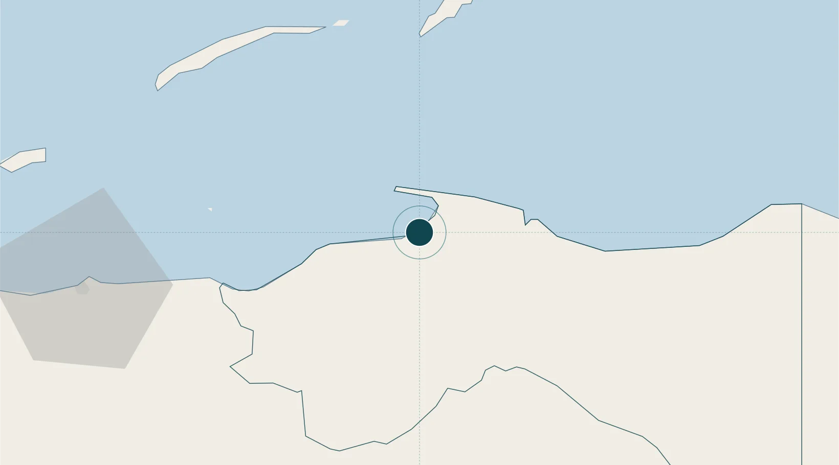
Location
Nearby Logistics Neighbours
Ports
- 1Puerto Castilla10 km
- 2Coxen Hole78 km
- 3La Ceiba92 km
- 4Tela161 km
- 5Puerto Cortes214 km
Cities
- 1Puerto Castilla10 km
- 2Mahogany Bay75 km
- 3Roatán77 km
- 4San Ignacio183 km
- 5Pimienta204 km
Airports
- 1Trujillo Airport2 km
- 2La Laguna Airport59 km
- 3Juan Manuel Gálvez International Airport76 km
- 4Golosón International Airport99 km
- 5Utila Airport102 km
Trade Zones
- 1Roatán Próspera Village ZEDE75 km
- 2ZIP El Porvenir Free Zone203 km
- 3Parque Industrial San Miguel214 km
- 4Ciudad Morazán (ZEDE Morazán)214 km
- 5ZIP Continental216 km
DatabookThe Record of Consolidated Knowledge
Honduras beyond logistics?