Export Processing Zone · Honduras

Parque Industrial San Miguel Active
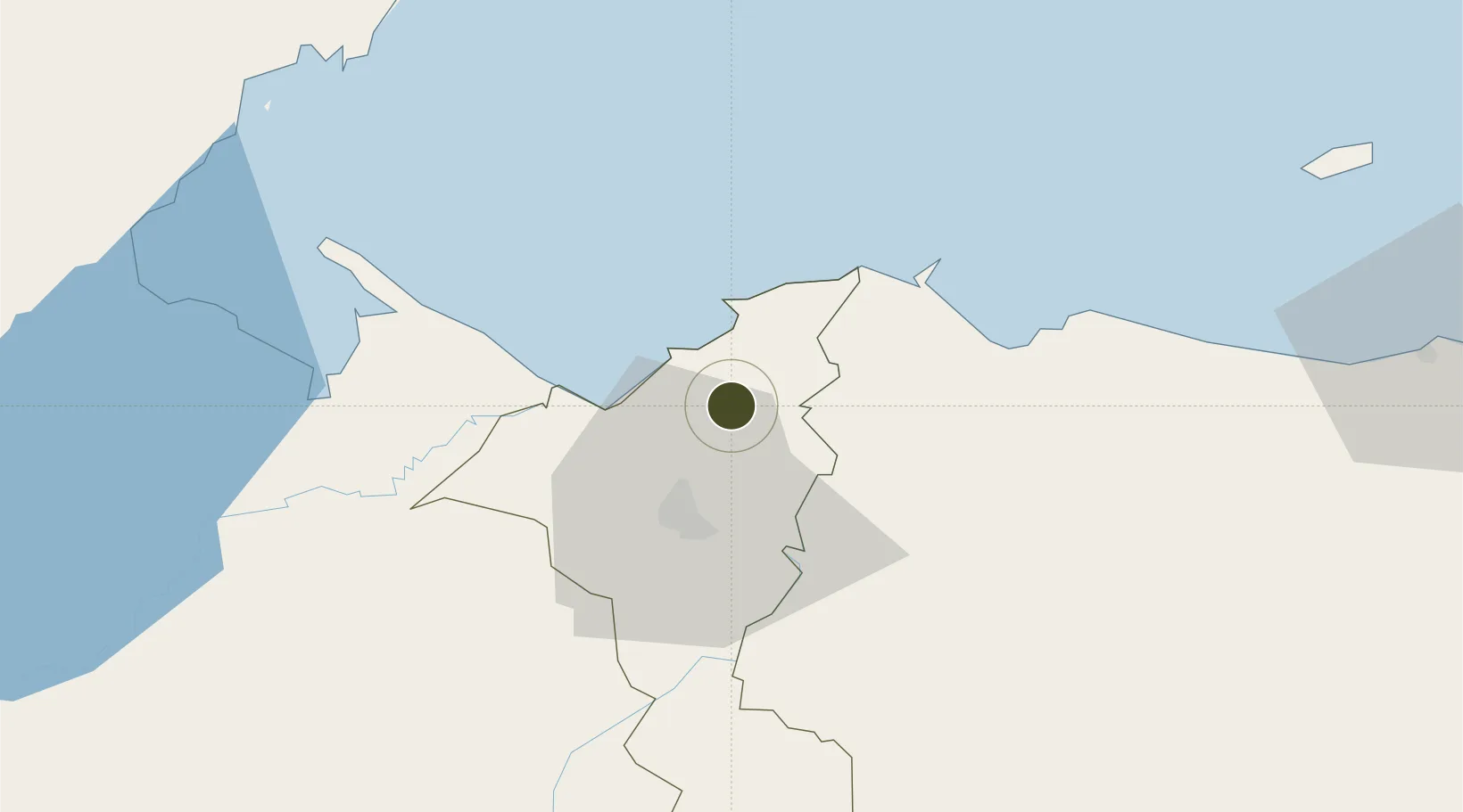
15.6917°, -87.9366°
50 ha
Zone area
15.8 km
Nearest port
26.6 km
Nearest airport

Gateway access

Nearest neighbours — logibook spatial index (haversine) over the source coordinates

Zone profile

Zone type
Export Processing Zone
Open Zone Map
Region
Cortés
Open Zone Map
Status
Active
Open Zone Map
Management
Private
Open Zone Map
Operator
San Miguel Industrial Park, SA
Open Zone Map
Legal framework
Law of Industrial Zones of Processing for Exports - Decree No 131-98
Open Zone Map

Location

Location of ozm-2086
Natural Earth 10m (public domain) · Cortés · ozm-2086 · 15.69, -87.94GoogleOSMYandex

Nearby Logistics Neighbours

Ports
  1. 1Puerto Cortes16 km
  2. 2Tela53 km
  3. 3Puerto Barrios71 km
  4. 4Santo Tomas De Castilla73 km
  5. 5Big Creek104 km
Nearest neighbours — logibook spatial index (haversine) over the source coordinates
Airports
  1. 1Ramón Villeda Morales International Airport27 km
  2. 2Tela Airport50 km
  3. 3Puerto Barrios Airport69 km
  4. 4Punta Gorda Airport104 km
  5. 5Placencia Airport104 km
Nearest neighbours — logibook spatial index (haversine) over the source coordinates
Cities
  1. 1Rio Bijao3 km
  2. 2Rio Blanquito6 km
  3. 3San Pedro Sula12 km
  4. 4Omoa13 km
  5. 5Puerto Cortés15 km
Nearest neighbours — logibook spatial index (haversine) over the source coordinates
Trade Zones
  1. 1Ciudad Morazán (ZEDE Morazán)8 km
  2. 2ZOLI Indhelva Free Zone10 km
  3. 3ZIP Choloma Free Zone10 km
  4. 4ZOLI America Free Zone12 km
  5. 5ZOLI Honduras Free Zone12 km
Nearest neighbours — logibook spatial index (haversine) over the source coordinates
DatabookThe Record of Consolidated Knowledge
Honduras beyond logistics?
Browse databook

All Sources

Trade ZonesOpen Zone Map
CC BY
Portsthe NGA World Port Index
Public domain (US gov)
AirportsOurAirports
Public domain
LocationsUN/LOCODE
UN/LOCODE — free
← Honduras trade zones