Small airport · Honduras

Utila AirportMHUT

16.1131°, -86.8803°
29 ft
Elevation

Runway & Layout

Utila Airport runway & taxiway layout
Runway & taxiway layout — OpenStreetMap (ODbL) / OurAirports

Airport Specifications
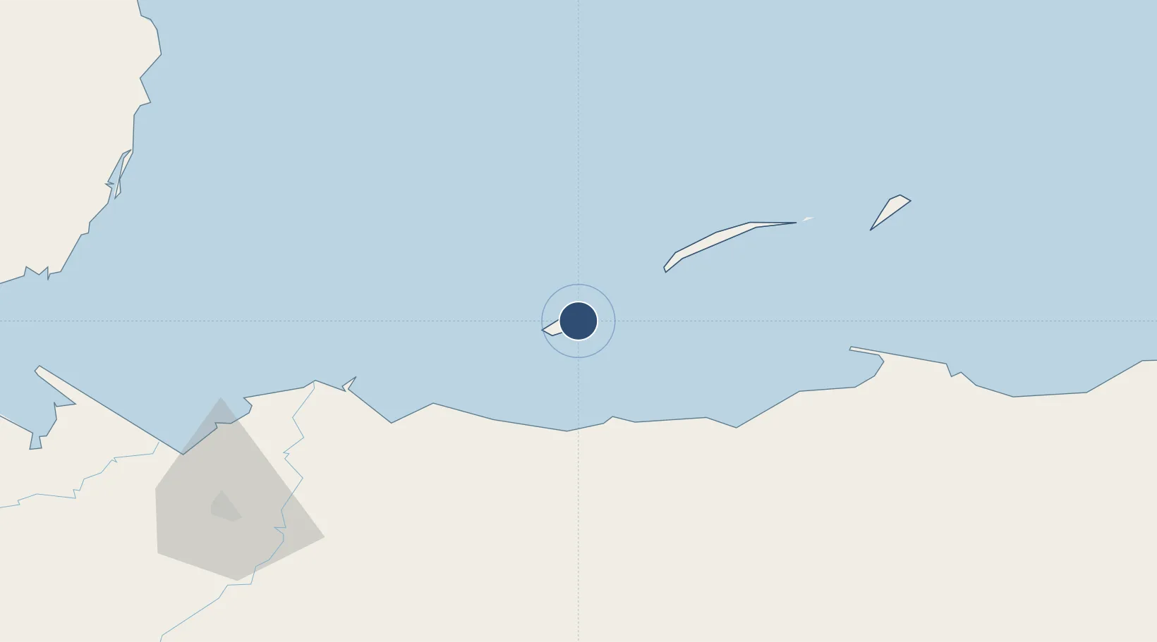
IATA code
UII
OurAirports
ICAO code
MHUT
OurAirports
Airport class
Small airport
OurAirports
Scheduled service
Yes
OurAirports
Served city
Utila Island
OurAirports

Location

Location of MHUT
Natural Earth 10m (public domain) · Islas de la Bahía · MHUT · 16.11, -86.88GoogleOSMYandex

Nearby Logistics Neighbours

Airports
  1. 1Golosón International Airport41 km
  2. 2Juan Manuel Gálvez International Airport44 km
  3. 3Tela Airport74 km
  4. 4Trujillo Airport103 km
  5. 5La Laguna Airport110 km
Nearest neighbours — logibook spatial index (haversine) over the source coordinates
Cities
  1. 1Roatán41 km
  2. 2Mahogany Bay47 km
  3. 3Puerto Castilla98 km
  4. 4Puerto Cortés115 km
  5. 5Rio Blanquito117 km
Nearest neighbours — logibook spatial index (haversine) over the source coordinates
Ports
  1. 1La Ceiba38 km
  2. 2Coxen Hole42 km
  3. 3Tela71 km
  4. 4Puerto Castilla97 km
  5. 5Trujillo102 km
Nearest neighbours — logibook spatial index (haversine) over the source coordinates
Trade Zones
  1. 1Roatán Próspera Village ZEDE52 km
  2. 2ZIP El Porvenir Free Zone121 km
  3. 3Parque Industrial San Miguel122 km
  4. 4Ciudad Morazán (ZEDE Morazán)125 km
  5. 5ZIP Choloma Free Zone128 km
Nearest neighbours — logibook spatial index (haversine) over the source coordinates
DatabookThe Record of Consolidated Knowledge
Honduras beyond logistics?
Browse databook

All Sources

AirportsOurAirports
Public domain
Portsthe NGA World Port Index
Public domain (US gov)
LocationsUN/LOCODE
UN/LOCODE — free
Trade Zonesthe World Bank SEZ database
CC BY 4.0
Trade ZonesOpen Zone Map
CC BY
InfrastructureOpenStreetMap
ODbL 1.0
← Honduras airports