Medium airport · Honduras
La Laguna AirportMHNJ
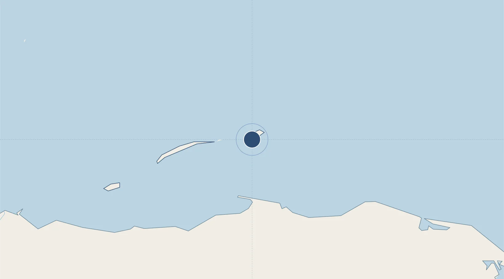
16.4454°, -85.9066°
3,990 ft
Longest runway
1
Runways
49 ft
Elevation
Runway & Layout

Runways · 1
| Runway | Dimensions | Surface | True heading | Lit |
|---|---|---|---|---|
| 12/30 | 3,990 × 66ft | Asphalt | 115° | — |
Airport Specifications
IATA code
GJA
ICAO code
MHNJ
Airport class
Medium airport
Scheduled service
Yes
Runway surface
Asphalt
Served city
Guanaja
Location
Nearby Logistics Neighbours
Airports
- 1Trujillo Airport58 km
- 2Juan Manuel Gálvez International Airport67 km
- 3Utila Airport110 km
- 4Golosón International Airport128 km
- 5Tela Airport183 km
Cities
- 1Puerto Castilla49 km
- 2Mahogany Bay65 km
- 3Roatán71 km
- 4Puerto Cortés225 km
- 5Rio Blanquito227 km
Ports
- 1Puerto Castilla50 km
- 2Trujillo59 km
- 3Coxen Hole70 km
- 4La Ceiba121 km
- 5Tela181 km
Trade Zones
- 1Roatán Próspera Village ZEDE61 km
- 2ZIP El Porvenir Free Zone229 km
- 3Parque Industrial San Miguel233 km
- 4Ciudad Morazán (ZEDE Morazán)235 km
- 5ZIP Choloma Free Zone238 km
DatabookThe Record of Consolidated Knowledge
Honduras beyond logistics?