Transport Functions
Port
Road
Hub Profile
Region
IB
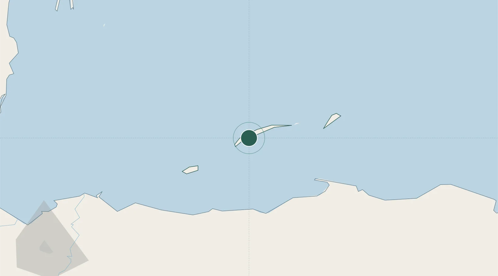
Location
Nearby Logistics Neighbours
Cities
- 1Roatán7 km
- 2Puerto Castilla67 km
- 3Puerto Cortés161 km
- 4Rio Blanquito164 km
- 5Rio Bijao168 km
Ports
- 1Coxen Hole6 km
- 2Puerto Castilla67 km
- 3La Ceiba69 km
- 4Trujillo75 km
- 5Tela119 km
Airports
- 1Juan Manuel Gálvez International Airport3 km
- 2Utila Airport47 km
- 3La Laguna Airport65 km
- 4Trujillo Airport75 km
- 5Golosón International Airport76 km
Trade Zones
- 1Roatán Próspera Village ZEDE5 km
- 2ZIP El Porvenir Free Zone168 km
- 3Parque Industrial San Miguel169 km
- 4Ciudad Morazán (ZEDE Morazán)172 km
- 5ZIP Choloma Free Zone176 km
DatabookThe Record of Consolidated Knowledge
Honduras beyond logistics?