UN/LOCODE hub · Honduras
HNPCA
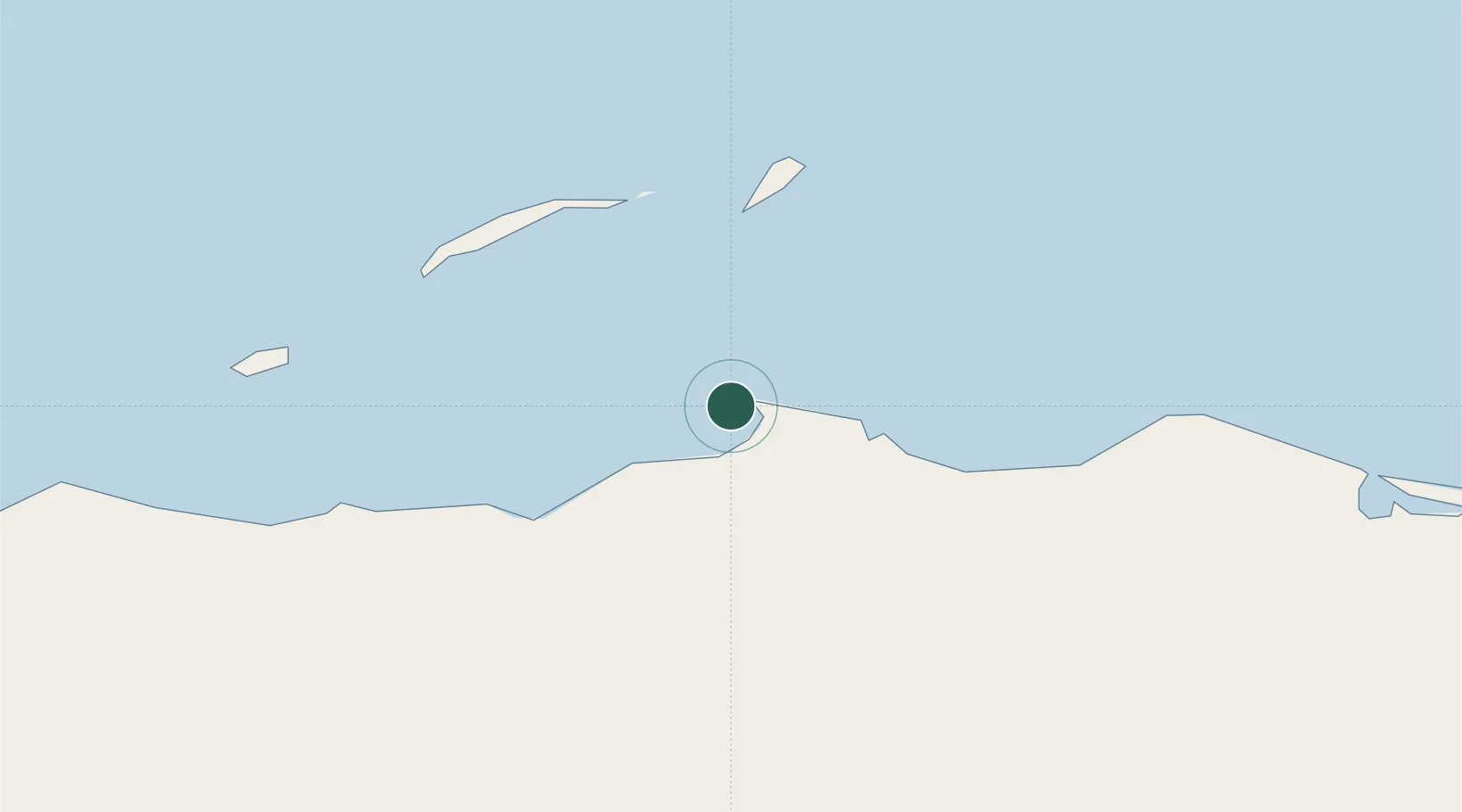
Puerto Castilla
16.0053°, -85.9700°
1,220
Population
1
Transport functions
1
Container terminals
Transport Functions
Port
Hub Profile
Place type
Populated place
Region
Colón Department
Population
1,220
Time zone
America/Tegucigalpa
Elevation
7 m
Logistics facilities
1
Container terminals
1
Location
Nearby Logistics Neighbours
Cities
- 1Mahogany Bay67 km
- 2Roatán70 km
- 3San Ignacio189 km
- 4El Progreso207 km
- 5Puerto Cortés208 km
Ports
- 1Trujillo10 km
- 2Coxen Hole71 km
- 3La Ceiba92 km
- 4Tela160 km
- 5Puerto Cortes213 km
Airports
- 1Trujillo Airport9 km
- 2La Laguna Airport49 km
- 3Juan Manuel Gálvez International Airport69 km
- 4Utila Airport98 km
- 5Golosón International Airport99 km
Trade Zones
- 1Roatán Próspera Village ZEDE67 km
- 2ZIP El Porvenir Free Zone204 km
- 3Parque Industrial San Miguel213 km
- 4Ciudad Morazán (ZEDE Morazán)214 km
- 5ZIP Continental216 km
DatabookThe Record of Consolidated Knowledge
Honduras beyond logistics?