Transport Functions
Port
Airport
Hub Profile
Place type
Populated place
Region
Bay Islands
Time zone
America/Tegucigalpa
Elevation
35 m
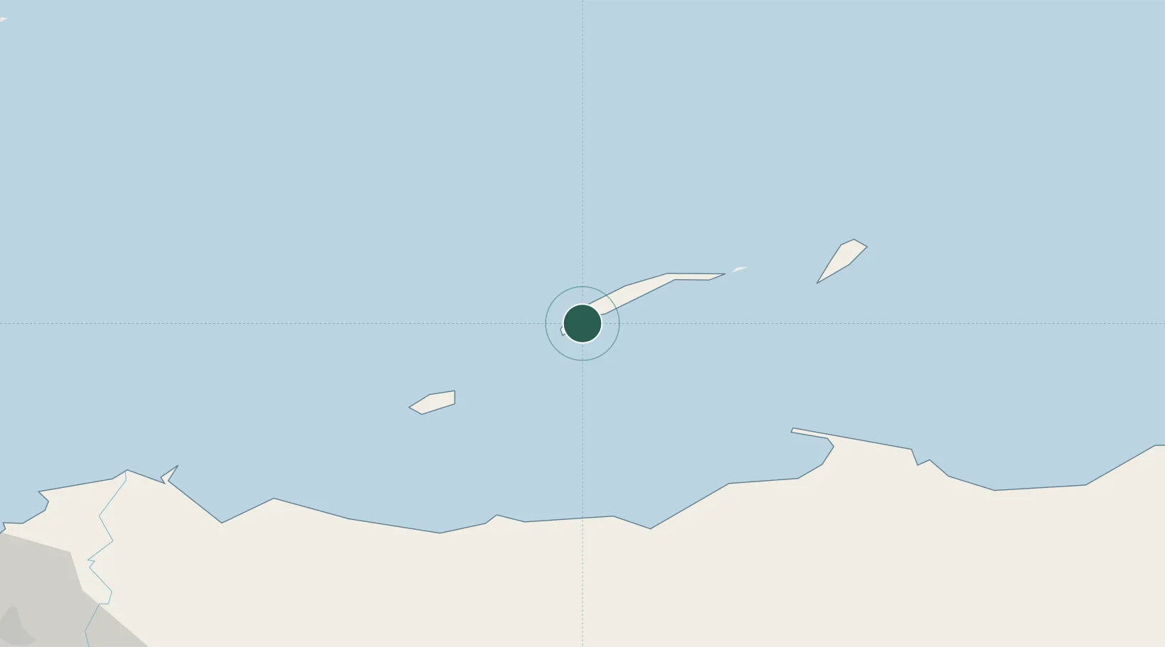
Location
Nearby Logistics Neighbours
Cities
- 1Mahogany Bay7 km
- 2Puerto Castilla70 km
- 3Puerto Cortés154 km
- 4Rio Blanquito157 km
- 5Rio Bijao162 km
Ports
- 1La Ceiba63 km
- 2Puerto Castilla69 km
- 3Trujillo77 km
- 4Tela112 km
- 5Puerto Cortes158 km
Airports
- 1Juan Manuel Gálvez International Airport3 km
- 2Utila Airport41 km
- 3Golosón International Airport70 km
- 4La Laguna Airport71 km
- 5Trujillo Airport77 km
Trade Zones
- 1Roatán Próspera Village ZEDE12 km
- 2ZIP El Porvenir Free Zone162 km
- 3Parque Industrial San Miguel163 km
- 4Ciudad Morazán (ZEDE Morazán)166 km
- 5ZIP Choloma Free Zone169 km
DatabookThe Record of Consolidated Knowledge
Honduras beyond logistics?