Large airport · Honduras
Juan Manuel Gálvez International AirportMHRO
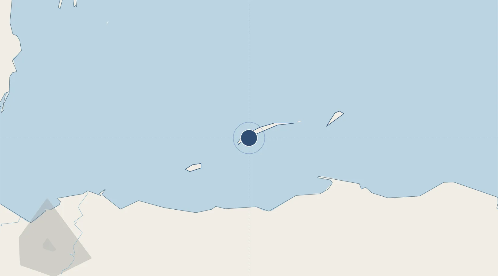
16.3168°, -86.5230°
7,349 ft
Longest runway
1
Runways
39 ft
Elevation
Runway & Layout

Radio Frequencies
TWR
118.1 MHz
ROATAN TWR
GND
121.6 MHz
Navaids
ROA VOR-DME Roatan 113.80 MHz
ROA NDB Roatan 301 kHz
Runways · 1
| Runway | Dimensions | Surface | True heading | Lit |
|---|---|---|---|---|
| 07/25 | 7,349 × 148ft | Asphalt | 066° | ✓ |
Airport Specifications
IATA code
RTB
ICAO code
MHRO
Airport class
Large airport
Scheduled service
Yes
Runway surface
Asphalt
Served city
Coxen Hole
Location
Nearby Logistics Neighbours
Airports
- 1Utila Airport44 km
- 2La Laguna Airport67 km
- 3Golosón International Airport73 km
- 4Trujillo Airport76 km
- 5Tela Airport118 km
Cities
- 1Mahogany Bay3 km
- 2Roatán3 km
- 3Puerto Castilla69 km
- 4Puerto Cortés158 km
- 5Rio Blanquito161 km
Ports
- 1Coxen Hole3 km
- 2La Ceiba66 km
- 3Puerto Castilla68 km
- 4Trujillo76 km
- 5Tela116 km
Trade Zones
- 1Roatán Próspera Village ZEDE8 km
- 2ZIP El Porvenir Free Zone165 km
- 3Parque Industrial San Miguel166 km
- 4Ciudad Morazán (ZEDE Morazán)169 km
- 5ZIP Choloma Free Zone173 km
DatabookThe Record of Consolidated Knowledge
Honduras beyond logistics?