Seaport · Honduras
Puerto CastillaHNPCA
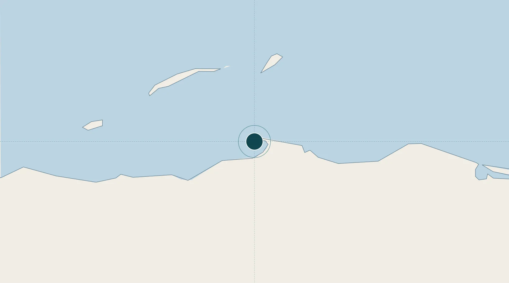
16.0000°, -85.9833°
12.5 m
Channel depth
1
Container terminals
30.7
Port liner connectivity
Channel & Berth Profile
Pilotage, Tugs & Services
Pilotage compulsoryYES
Pilotage availableYES
Salvage tugsNO
Potable waterYES
Diesel bunkersNO
Garbage disposalNO
Facilities & Capabilities
ContainerYES
Ro-Ro—
Liquid bulkYES
Dry bulk—
Oil terminal—
Break bulkYES
Dry dock—
RepairsNO
BunkeringNO
Rail link—
Dangerous cargo—
ISPS securityYES
Harbour Specifications
Harbour size
Very Small
Harbour type
Open Roadstead
Shelter
Fair
Water body
Caribbean Sea; North Atlantic Ocean
Tidal range
0.5 m
Overhead limit
No
Pilotage
Yes
Liner Connectivity
30.7
PLSCI
Port Liner Shipping Connectivity Index for Puerto Castilla, as published by UNCTAD for the latest available quarter. Higher values indicate stronger scheduled liner-shipping integration.
Shown relative to the highest per-port PLSCI in the dataset (1,657.9).
Location
Container Terminals · 1
ENP PUERTO CASTILLA
PCA EMPRESA NACIONAL PORTUARIA HONDURAS, C.A. (ENP)
Nearby Logistics Neighbours
Ports
- 1Trujillo10 km
- 2Coxen Hole70 km
- 3La Ceiba91 km
- 4Tela159 km
- 5Puerto Cortes211 km
Cities
- 1Mahogany Bay67 km
- 2Roatán69 km
- 3San Ignacio188 km
- 4El Progreso206 km
- 5Puerto Cortés207 km
Airports
- 1Trujillo Airport10 km
- 2La Laguna Airport50 km
- 3Juan Manuel Gálvez International Airport68 km
- 4Utila Airport97 km
- 5Golosón International Airport97 km
Trade Zones
- 1Roatán Próspera Village ZEDE66 km
- 2ZIP El Porvenir Free Zone202 km
- 3Parque Industrial San Miguel212 km
- 4Ciudad Morazán (ZEDE Morazán)212 km
- 5ZIP Continental215 km
DatabookThe Record of Consolidated Knowledge
Honduras beyond logistics?