Charter City · Honduras
Roatán Próspera Village ZEDE Under Development
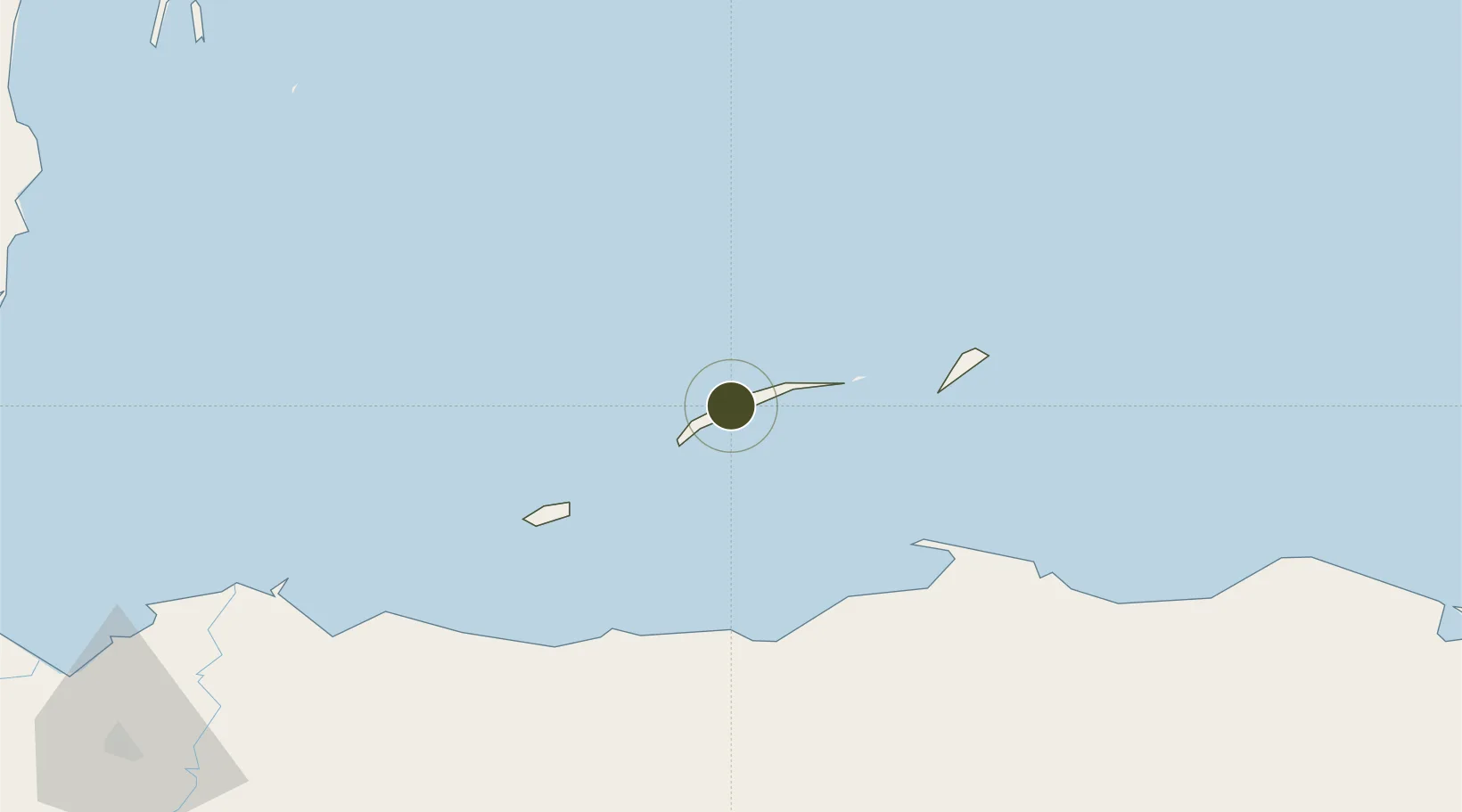
16.3707°, -86.4697°
23 ha
Zone area
10.5 km
Nearest port
8.3 km
Nearest airport
Gateway access
Zone profile
Zone type
Charter City
Region
Islas de la Bahía
Status
Under Development
Management
Private
Operator
Próspera Council
Legal framework
Articles 294, 303 and 329 through Decree 236-2012; ZEDE Regulation 002-2020
Location
Nearby Logistics Neighbours
Ports
- 1Coxen Hole11 km
- 2Puerto Castilla66 km
- 3La Ceiba74 km
- 4Trujillo75 km
- 5Tela123 km
Airports
- 1Juan Manuel Gálvez International Airport8 km
- 2Utila Airport52 km
- 3La Laguna Airport61 km
- 4Trujillo Airport75 km
- 5Golosón International Airport81 km
Cities
- 1Mahogany Bay5 km
- 2Roatán12 km
- 3Puerto Castilla67 km
- 4Puerto Cortés165 km
- 5Rio Blanquito169 km
Trade Zones
- 1ZIP El Porvenir Free Zone174 km
- 2Parque Industrial San Miguel174 km
- 3Ciudad Morazán (ZEDE Morazán)177 km
- 4ZIP Choloma Free Zone180 km
- 5ZOLI Indhelva Free Zone181 km
DatabookThe Record of Consolidated Knowledge
Honduras beyond logistics?