Seaport · Honduras
Coxen HoleHNRTB
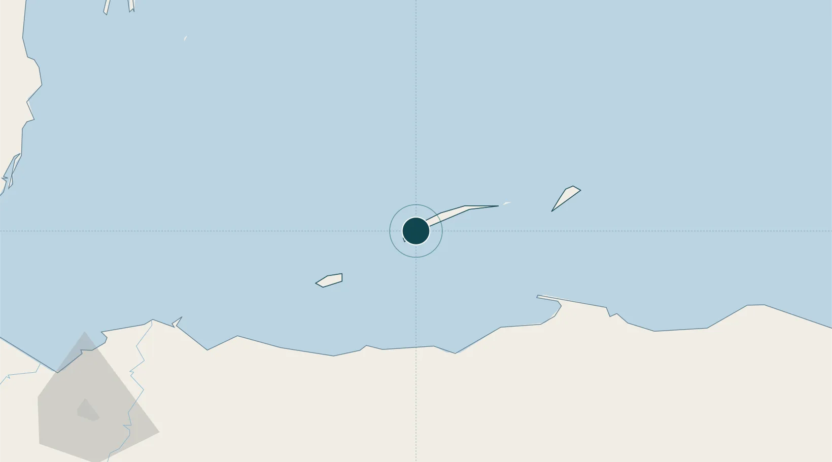
16.3167°, -86.5500°
20.0 m
Channel depth
9.1
Port liner connectivity
Channel & Berth Profile
Pilotage, Tugs & Services
Pilotage compulsoryYES
Pilotage availableYES
Pilotage advisableYES
Tug assistanceNO
Shore powerNO
Potable waterYES
Diesel bunkersYES
Garbage disposalNO
Facilities & Capabilities
Container—
Ro-Ro—
Liquid bulk—
Dry bulkYES
Oil terminal—
Break bulkYES
Dry dock—
Repairs—
BunkeringYES
Rail link—
Dangerous cargo—
ISPS security—
Harbour Specifications
Harbour size
Very Small
Harbour type
Coastal (Natural)
Shelter
Good
Water body
Caribbean Sea; North Atlantic Ocean
Tidal range
0.5 m
Overhead limit
No
Pilotage
Yes
Liner Connectivity
9.1
PLSCI
Port Liner Shipping Connectivity Index for Coxen Hole, as published by UNCTAD for the latest available quarter. Higher values indicate stronger scheduled liner-shipping integration.
Shown relative to the highest per-port PLSCI in the dataset (1,657.9).
Location
Nearby Logistics Neighbours
Ports
- 1La Ceiba65 km
- 2Puerto Castilla70 km
- 3Trujillo78 km
- 4Tela113 km
- 5Puerto Cortes159 km
Cities
- 1Mahogany Bay6 km
- 2Puerto Castilla71 km
- 3Puerto Cortés155 km
- 4Rio Blanquito158 km
- 5Rio Bijao162 km
Airports
- 1Juan Manuel Gálvez International Airport3 km
- 2Utila Airport42 km
- 3La Laguna Airport70 km
- 4Golosón International Airport72 km
- 5Trujillo Airport78 km
Trade Zones
- 1Roatán Próspera Village ZEDE11 km
- 2ZIP El Porvenir Free Zone163 km
- 3Parque Industrial San Miguel164 km
- 4Ciudad Morazán (ZEDE Morazán)166 km
- 5ZIP Choloma Free Zone170 km
DatabookThe Record of Consolidated Knowledge
Honduras beyond logistics?