Charter City · Honduras

Ciudad Morazán (ZEDE Morazán) Under Development
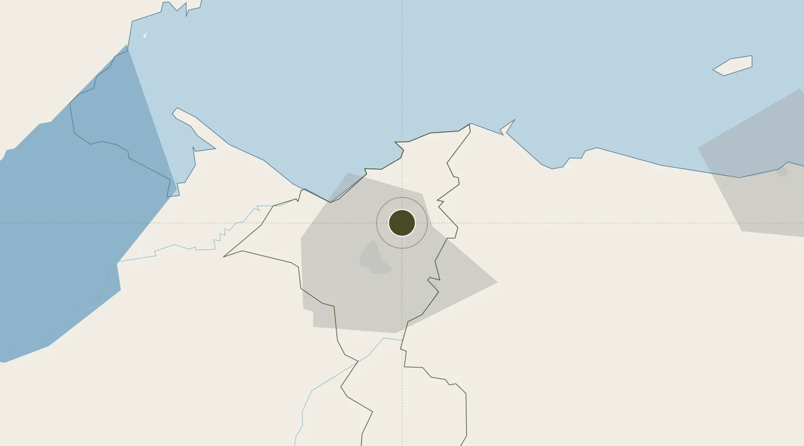
15.6238°, -87.9300°
24 ha
Zone area
23.4 km
Nearest port
19.1 km
Nearest airport

Gateway access

Nearest neighbours — logibook spatial index (haversine) over the source coordinates

Zone profile

Zone type
Charter City
Open Zone Map
Region
Cortés
Open Zone Map
Status
Under Development
Open Zone Map
Management
Private
Open Zone Map
Operator
Morazán Council
Open Zone Map
Legal framework
Decree No. 236-2012, Decree No. 120-2013, ZEDE Regulation 002-2020
Open Zone Map

Location

Location of ozm-2078
Natural Earth 10m (public domain) · Cortés · ozm-2078 · 15.62, -87.93GoogleOSMYandex

Nearby Logistics Neighbours

Ports
  1. 1Puerto Cortes23 km
  2. 2Tela54 km
  3. 3Puerto Barrios73 km
  4. 4Santo Tomas De Castilla74 km
  5. 5Big Creek111 km
Nearest neighbours — logibook spatial index (haversine) over the source coordinates
Airports
  1. 1Ramón Villeda Morales International Airport19 km
  2. 2Tela Airport52 km
  3. 3Puerto Barrios Airport71 km
  4. 4Punta Gorda Airport108 km
  5. 5Placencia Airport112 km
Nearest neighbours — logibook spatial index (haversine) over the source coordinates
Cities
  1. 1San Pedro Sula4 km
  2. 2Rio Bijao10 km
  3. 3Rio Blanquito13 km
  4. 4Omoa19 km
  5. 5Puerto Cortés23 km
Nearest neighbours — logibook spatial index (haversine) over the source coordinates
Trade Zones
  1. 1ZIP Choloma Free Zone4 km
  2. 2ZOLI Indhelva Free Zone4 km
  3. 3ZOLI America Free Zone5 km
  4. 4ZOLI Honduras Free Zone5 km
  5. 5Parque Industrial San Miguel8 km
Nearest neighbours — logibook spatial index (haversine) over the source coordinates
DatabookThe Record of Consolidated Knowledge
Honduras beyond logistics?
Browse databook

All Sources

Trade ZonesOpen Zone Map
CC BY
Portsthe NGA World Port Index
Public domain (US gov)
AirportsOurAirports
Public domain
LocationsUN/LOCODE
UN/LOCODE — free
← Honduras trade zones