Transport Functions
Multimodal
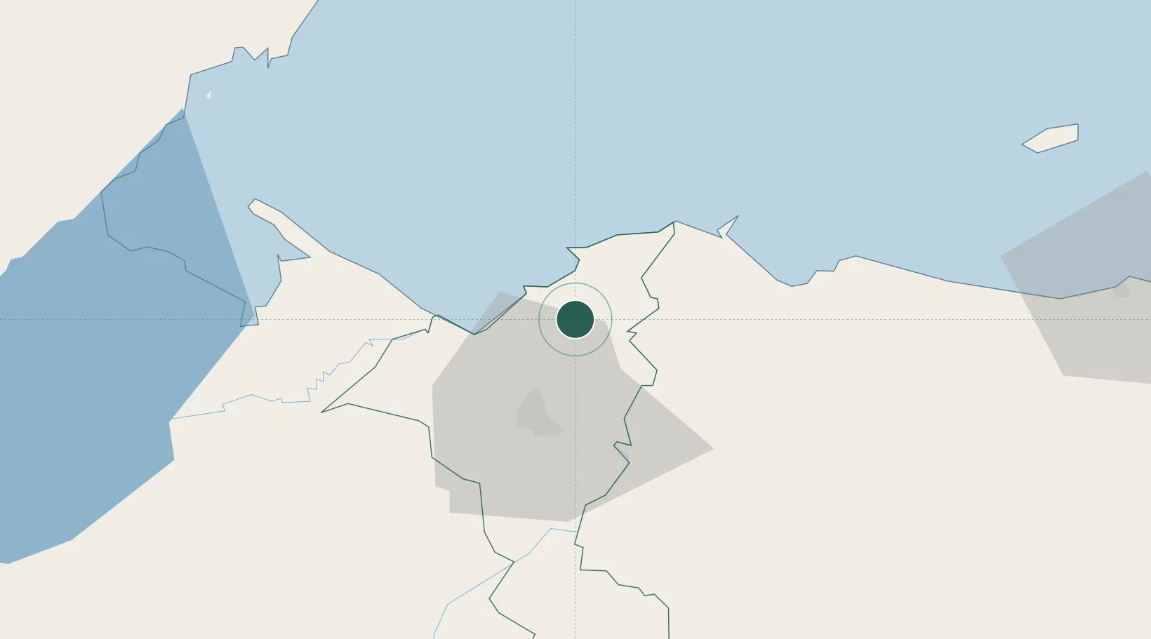
Hub Profile
Place type
Populated place
Region
Cortés Department
Time zone
America/Tegucigalpa
Elevation
286 m
Location
Nearby Logistics Neighbours
Cities
- 1Rio Blanquito4 km
- 2Omoa12 km
- 3Puerto Cortés13 km
- 4San Pedro Sula15 km
- 5Cuyamel29 km
Ports
- 1Puerto Cortes13 km
- 2Tela52 km
- 3Puerto Barrios71 km
- 4Santo Tomas De Castilla73 km
- 5Big Creek102 km
Airports
- 1Ramón Villeda Morales International Airport29 km
- 2Tela Airport49 km
- 3Puerto Barrios Airport70 km
- 4Placencia Airport102 km
- 5Big Creek Airport103 km
Trade Zones
DatabookThe Record of Consolidated Knowledge
Honduras beyond logistics?