UN/LOCODE hub · Honduras
HNHAH
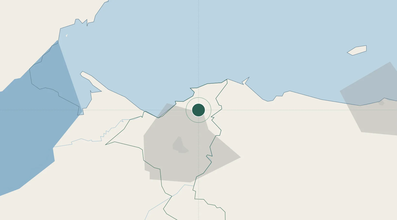
Rio Blanquito
15.7333°, -87.9000°
2,458
Population
1
Transport functions
Transport Functions
Multimodal
Hub Profile
Place type
Populated place
Region
Cortés Department
Population
2,458
Time zone
America/Tegucigalpa
Elevation
20 m
Location
Nearby Logistics Neighbours
Cities
- 1Rio Bijao4 km
- 2Puerto Cortés10 km
- 3Omoa15 km
- 4San Pedro Sula17 km
- 5Cuyamel33 km
Ports
- 1Puerto Cortes12 km
- 2Tela49 km
- 3Puerto Barrios75 km
- 4Santo Tomas De Castilla77 km
- 5Big Creek102 km
Airports
- 1Ramón Villeda Morales International Airport31 km
- 2Tela Airport46 km
- 3Puerto Barrios Airport73 km
- 4Placencia Airport102 km
- 5Big Creek Airport103 km
Trade Zones
DatabookThe Record of Consolidated Knowledge
Honduras beyond logistics?