Transport Functions
Port
Road
Hub Profile
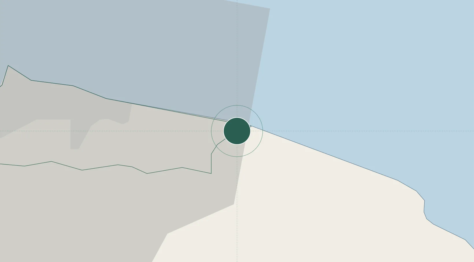
Place type
Populated place
Region
England
Population
826
Time zone
Europe/London
Elevation
13 m
Location
Nearby Logistics Neighbours
Cities
- 1Skinningrove5 km
- 2Liverton7 km
- 3Brotton9 km
- 4Whitby14 km
- 5Redcar17 km
Ports
- 1Whitby14 km
- 2Teesport24 km
- 3Hartlepool30 km
- 4Scarborough39 km
- 5Seaham46 km
Airports
- 1Teesside International Airport41 km
- 2RAF Topcliffe54 km
- 3RAF Leeming56 km
- 4Newcastle International Airport79 km
- 5Leeds East Airport84 km
Trade Zones
DatabookThe Record of Consolidated Knowledge
United Kingdom beyond logistics?