Transport Functions
Multimodal
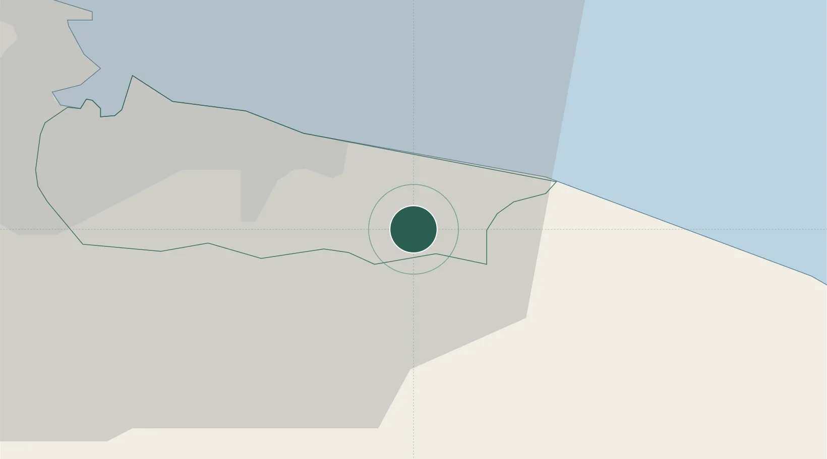
Hub Profile
Place type
Populated place
Region
England
Time zone
Europe/London
Elevation
168 m
Location
Nearby Logistics Neighbours
Cities
- 1Skinningrove4 km
- 2Brotton6 km
- 3Staithes7 km
- 4Redcar13 km
- 5Whitby19 km
Ports
- 1Whitby19 km
- 2Teesport21 km
- 3Hartlepool27 km
- 4Scarborough42 km
- 5Seaham44 km
Airports
- 1Teesside International Airport34 km
- 2RAF Topcliffe47 km
- 3RAF Leeming48 km
- 4Newcastle International Airport77 km
- 5Leeds East Airport78 km
Trade Zones
DatabookThe Record of Consolidated Knowledge
United Kingdom beyond logistics?