UN/LOCODE hub · United Kingdom
GBEXM
Exmouth
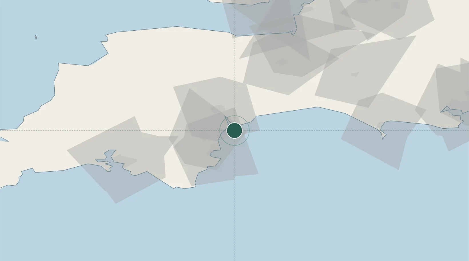
50.5833°, -3.4000°
34,432
Population
1
Transport functions
Transport Functions
Port
Hub Profile
Place type
Populated place
Region
England
Population
34,432
Time zone
Europe/London
Elevation
33 m
Location
Nearby Logistics Neighbours
Cities
- 1Cockwood3 km
- 2Teignmouth6 km
- 3Budleigh Salterton7 km
- 4Bishopsteignton10 km
- 5Topsham12 km
Ports
- 1Teignmouth Harbour8 km
- 2Torquay Harbour16 km
- 3Brixham Harbour22 km
- 4Dartmouth Harbour30 km
- 5Bridport Harbour47 km
Airports
- 1Exeter International Airport17 km
- 2RNAS Yeovilton72 km
- 3Royal Marines Base Chivenor77 km
- 4Cardiff International Airport91 km
- 5MOD St Athan91 km
Trade Zones
DatabookThe Record of Consolidated Knowledge
United Kingdom beyond logistics?