UN/LOCODE hub · United Kingdom
GBTOR
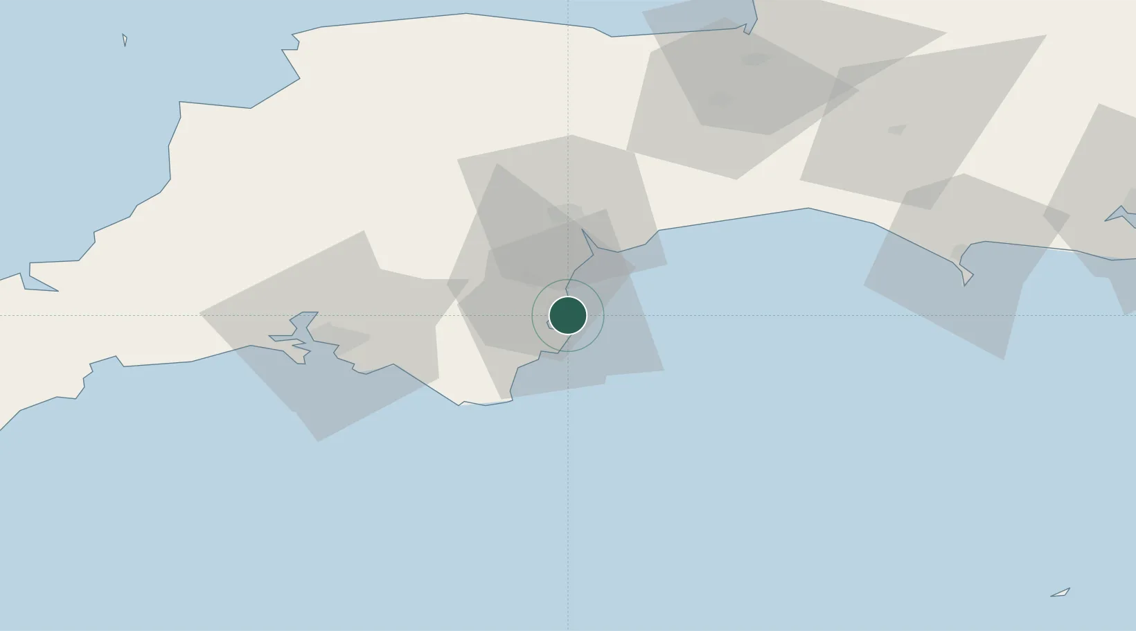
Torquay
50.4500°, -3.5000°
65,388
Population
1
Transport functions
Transport Functions
Port
Hub Profile
Place type
Provincial seat
Region
England
Population
65,388
Time zone
Europe/London
Elevation
8 m
Location
Nearby Logistics Neighbours
Cities
- 1Torbay/Paignton5 km
- 2Paignton5 km
- 3Berry Head6 km
- 4Brixham7 km
- 5Bishopsteignton11 km
Ports
- 1Brixham Harbour6 km
- 2Teignmouth Harbour11 km
- 3Dartmouth Harbour14 km
- 4Plymouth47 km
- 5Bridport Harbour60 km
Airports
- 1Exeter International Airport32 km
- 2Royal Marines Base Chivenor84 km
- 3RNAS Yeovilton87 km
- 4Hartland Point Heliport96 km
- 5Cardiff International Airport106 km
Trade Zones
DatabookThe Record of Consolidated Knowledge
United Kingdom beyond logistics?