Transport Functions
Port
Hub Profile
Place type
Populated place
Region
England
Time zone
Europe/London
Elevation
23 m
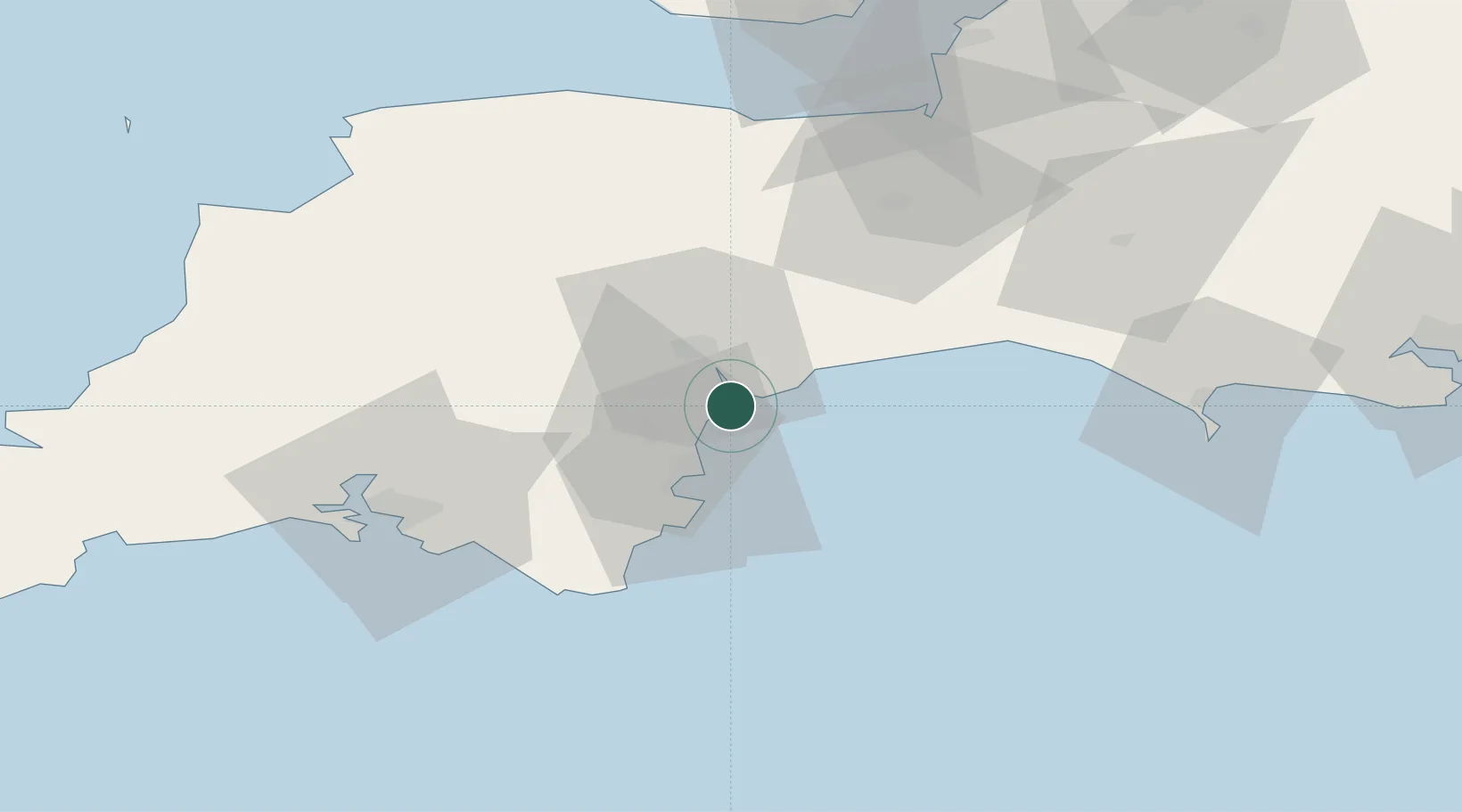
Location
Nearby Logistics Neighbours
Cities
- 1Exmouth3 km
- 2Teignmouth6 km
- 3Budleigh Salterton8 km
- 4Bishopsteignton9 km
- 5Topsham9 km
Ports
- 1Teignmouth Harbour7 km
- 2Torquay Harbour16 km
- 3Brixham Harbour23 km
- 4Dartmouth Harbour31 km
- 5Bridport Harbour49 km
Airports
Trade Zones
DatabookThe Record of Consolidated Knowledge
United Kingdom beyond logistics?