UN/LOCODE hub · United Kingdom
GBTNM
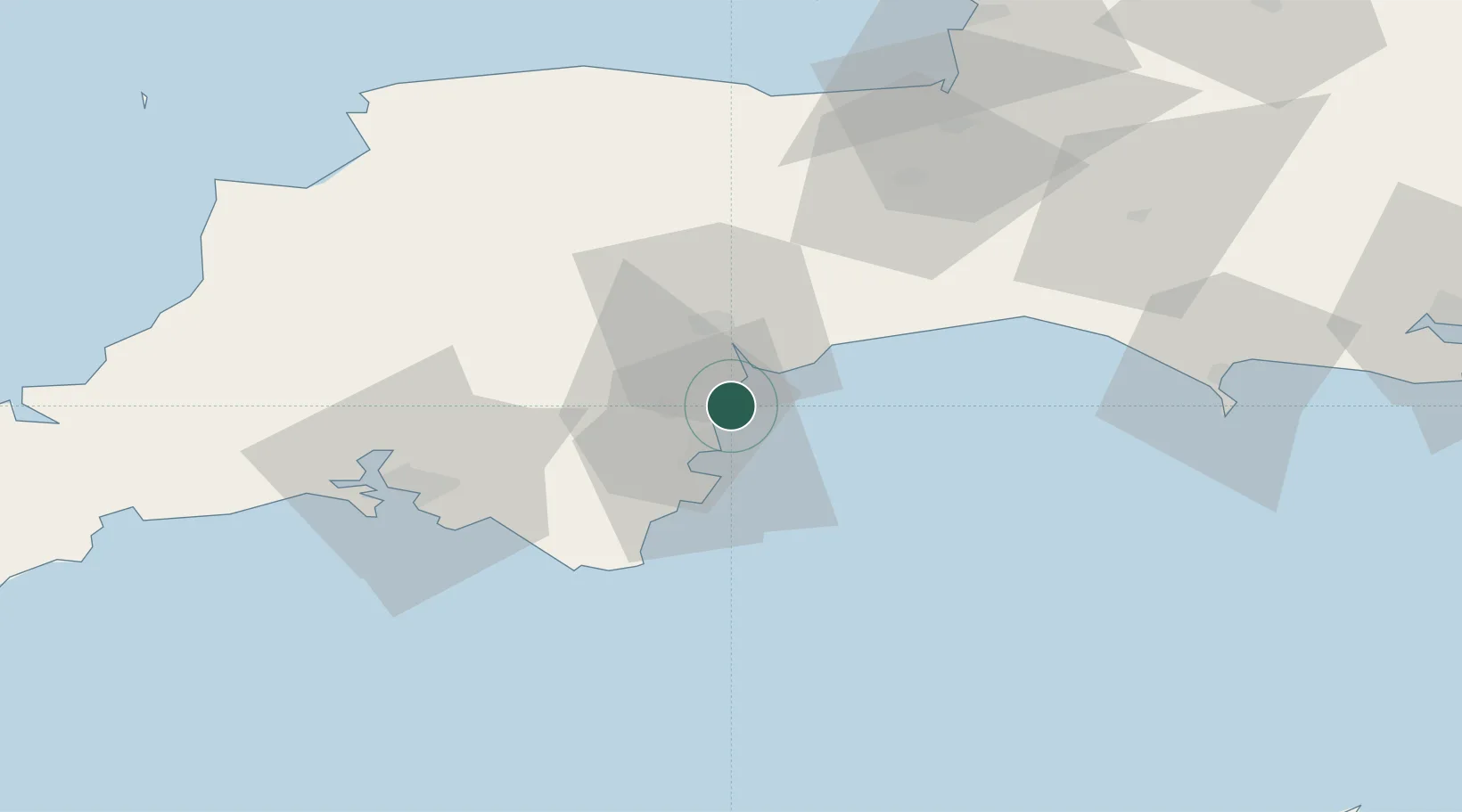
Teignmouth
50.5500°, -3.4667°
17,463
Population
1
Transport functions
Transport Functions
Port
Hub Profile
Place type
Populated place
Region
England
Population
17,463
Time zone
Europe/London
Elevation
5 m
Location
Nearby Logistics Neighbours
Cities
- 1Bishopsteignton5 km
- 2Exmouth6 km
- 3Cockwood6 km
- 4Torquay11 km
- 5Torbay/Paignton13 km
Ports
- 1Torquay Harbour10 km
- 2Brixham Harbour17 km
- 3Dartmouth Harbour25 km
- 4Plymouth53 km
- 5Bridport Harbour53 km
Airports
Trade Zones
DatabookThe Record of Consolidated Knowledge
United Kingdom beyond logistics?