Transport Functions
Port
Airport
Hub Profile
Place type
Urban district
Region
Scotland
Time zone
Europe/London
Elevation
16 m
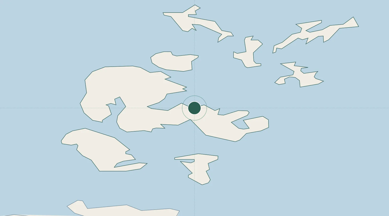
Location
Nearby Logistics Neighbours
Ports
- 1Kirkwall2 km
- 2Scapa Bay6 km
- 3St Margarets Hope19 km
- 4Stromness20 km
- 5Lyness23 km
Airports
- 1Kirkwall Airport6 km
- 2Eday Airport24 km
- 3Stronsay Airport25 km
- 4Sanday Airport36 km
- 5Westray Airport39 km
Trade Zones
DatabookThe Record of Consolidated Knowledge
United Kingdom beyond logistics?