UN/LOCODE hub · United Kingdom
GBKWL

Kirkwall

58.9833°, -2.9500°
7,150
Population
2
Transport functions

Transport Functions

Port
Airport
Kirkwall is also a profiled seaport →
UN/LOCODE

Hub Profile

Place type
Provincial seat
GeoNames
Region
Scotland
GeoNames
Population
7,150
GeoNames
Time zone
Europe/London
GeoNames
Elevation
3 m
GeoNames

Location

Location of GBKWL
Natural Earth 10m (public domain) · Scotland · GBKWL · 58.98, -2.95GoogleOSMYandex

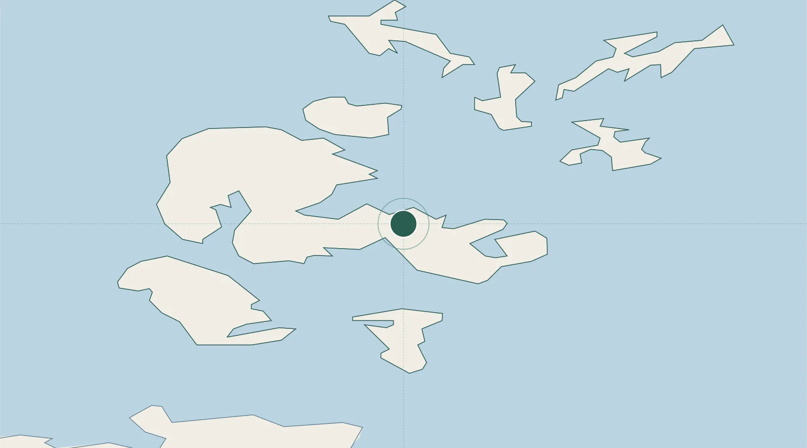
Nearby Logistics Neighbours

Cities
  1. 1Hatston2 km
  2. 2Scapa3 km
  3. 3Deerness6 km
  4. 4Shapinsay9 km
  5. 5Holm10 km
Nearest neighbours — logibook spatial index (haversine) over the source coordinates
Ports
  1. 1Scapa Bay4 km
  2. 2St Margarets Hope17 km
  3. 3Stromness20 km
  4. 4Lyness22 km
  5. 5Whitehall26 km
Nearest neighbours — logibook spatial index (haversine) over the source coordinates
Airports
  1. 1Kirkwall Airport4 km
  2. 2Eday Airport25 km
  3. 3Stronsay Airport26 km
  4. 4Sanday Airport37 km
  5. 5Westray Airport41 km
Nearest neighbours — logibook spatial index (haversine) over the source coordinates
Trade Zones
  1. 1Prestwick Airport Free Zone399 km
  2. 2Carlisle Kingmoor Park Enterprise Zone450 km
  3. 3North Eastern Enterprise Zone454 km
  4. 4Tees Valley Enterprise Zone499 km
  5. 5Isle of Man Free Zone and Business Park554 km
Nearest neighbours — logibook spatial index (haversine) over the source coordinates
DatabookThe Record of Consolidated Knowledge
United Kingdom beyond logistics?
Browse databook

All Sources

LocationsUN/LOCODE
UN/LOCODE — free
LocationsGeoNames
CC BY 4.0
Portsthe NGA World Port Index
Public domain (US gov)
AirportsOurAirports
Public domain
Trade Zonesthe World Bank SEZ database
CC BY 4.0
Trade ZonesOpen Zone Map
CC BY
← United Kingdom locations