UN/LOCODE hub · United Kingdom
GBXCR
Crawley Down
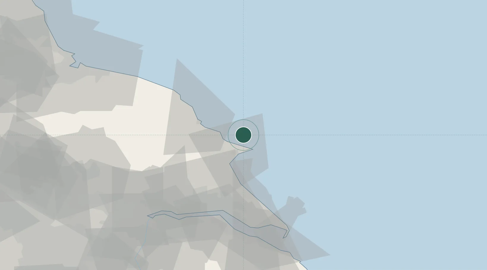
54.2000°, -0.1333°
4,300
Population
1
Transport functions
Transport Functions
Multimodal
Hub Profile
Place type
Populated place
Region
England
Population
4,300
Time zone
Europe/London
Elevation
118 m
Location
Nearby Logistics Neighbours
Cities
- 1Flamborough9 km
- 2Bridlington14 km
- 3Sherburn25 km
- 4Dunnington29 km
- 5Robin Hoods Bay32 km
Ports
- 1Bridlington13 km
- 2Scarborough20 km
- 3Whitby44 km
- 4Kingston Upon Hull51 km
- 5New Holland58 km
Airports
- 1Humberside Airport71 km
- 2Leeds East Airport80 km
- 3RAF Topcliffe81 km
- 4Teesside International Airport91 km
- 5RAF Leeming92 km
Trade Zones
DatabookThe Record of Consolidated Knowledge
United Kingdom beyond logistics?