Transport Functions
Road
Multimodal
Hub Profile
Place type
Populated place
Region
England
Time zone
Europe/London
Elevation
151 m
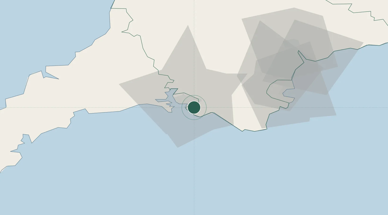
Location
Nearby Logistics Neighbours
Cities
- 1Newton Ferrers4 km
- 2Plympton6 km
- 3Devonport9 km
- 4Plymouth11 km
- 5Torpoint11 km
Ports
- 1Plymouth6 km
- 2Dartmouth Harbour32 km
- 3Brixham Harbour39 km
- 4Torquay Harbour40 km
- 5Fowey Harbour40 km
Airports
- 1Exeter International Airport63 km
- 2Cornwall Airport Newquay67 km
- 3Hartland Point Heliport81 km
- 4Royal Marines Base Chivenor82 km
- 5RNAS Culdrose90 km
Trade Zones
DatabookThe Record of Consolidated Knowledge
United Kingdom beyond logistics?